|
Enhanced LRO Images of the Apollo 14
Landing Site
Following are deconvolved and enhanced versions
of the raw LRO images of the Apollo 14 landing site. These deconvolved and
enhanced LRO images show considerably more detail in comparison to the LRO's
raw images. The raw LRO images, merely with adjustments to brightness and
contrast, are what have been published by both Arizona State University and
NASA. All of GoneToPlaid's deconvolved and enhanced images, after processing,
were then resampled to have identical image scales along the X and Y axes.
Horizontal versus vertical image scale accuracy is in the neighborhood of
2%.
All photos when clicked on will automatically
open a high quality JPEG image either in a new web browser tab or in a new web
browser window, depending on your web browser's configuration.
Clicking on "TIF Image" will open the original
lossless and higher quality TIF version of the associated JPEG image.
An excellent TIF viewer web browser plug-in is
AlternaTIFF which may be downloaded
and installed via the underlined link. IE users should download and install the
appropriate Active-X control. Firefox, Opera, Chrome, and most other web
browser users (other than IE) should download and install the Standard web
browser plug-in (Netscape-style). Both types of AlternaTIFF plug-ins may be
installed on the same computer if you have multiple web browsers installed.
Photo
Credits: All original LRO photos credit NASA/GSFC/ASU. All deconvolved and
enhanced LRO photos credit NASA/GSFC/ASU/GoneToPlaid.
| LRO
Apollo 14 Image Information |
| NAC Image Name |
Date |
Time |
LM |
LM |
Mission |
Slew |
X Scale |
Y Scale |
Incidence |
Solar |
Incidence |
Comments |
| |
|
|
Location |
Location |
Phase |
Angle |
(m/pixel) |
(m/pixel) |
Angle |
Altitude |
Direction |
|
| |
|
|
(Column) |
(Row) |
Name |
(degrees) |
|
|
(degrees) |
(degrees) |
|
|
| M102265088LE |
07/15/2009 |
02:43:41 |
4705 |
18230 |
COMMISSIONING |
-11.26 |
1.07 |
1.08 |
76.23 |
13.77 |
west |
Published first look |
| M104627085LE |
08/11/2009 |
10:50:18 |
3008 |
28682 |
COMMISSIONING |
-5.60 |
1.06 |
1.10 |
50.38 |
39.62 |
west |
Stereo Pair #1 |
| M104634241LE |
08/11/2009 |
12:49:34 |
3108 |
29071 |
COMMISSIONING |
12.34 |
1.09 |
1.09 |
51.38 |
38.62 |
west |
Stereo Pair #1 |
| M106985205LE |
09/07/2009 |
17:52:18 |
2842 |
15306 |
COMMISSIONING |
-9.92 |
1.14 |
1.14 |
23.82 |
66.18 |
west |
|
| M109345337LE |
10/05/2009 |
01:27:49 |
4041 |
20021 |
NOMINAL |
-13.90 |
0.51 |
0.55 |
3.77 |
86.23 |
west |
|
| M111708164LE |
11/01/2009 |
09:48:16 |
2822 |
17379 |
NOMINAL |
2.00 |
0.48 |
0.55 |
29.87 |
60.13 |
east |
|
| M114064206LE |
11/28/2009 |
16:15:39 |
3406 |
48880 |
NOMINAL |
-17.90 |
0.50 |
0.55 |
57.86 |
32.14 |
east |
Stereo Pair #2 |
| M114071006LE |
11/28/2009 |
18:08:59 |
4588 |
2245 |
NOMINAL |
20.00 |
0.52 |
0.55 |
56.94 |
33.06 |
east |
Stereo Pair #2 |
| M114071006RE |
11/28/2009 |
18:08:59 |
? |
2245 |
NOMINAL |
20.00 |
0.51 |
0.55 |
57.02 |
32.98 |
east |
Rest of landing site area |
| M116425798LE |
12/26/2009 |
00:15:31 |
4080 |
13304 |
NOMINAL |
-6.79 |
0.46 |
0.55 |
85.43 |
4.57 |
east |
Underexposed |
| M117609776RE |
01/08/2010 |
17:08:29 |
2925 |
49685 |
NOMINAL |
2.80 |
0.41 |
0.55 |
80.85 |
9.15 |
west |
|
| M119971387RE |
02/05/2010 |
01:08:41 |
2961 |
59136 |
NOMINAL |
-10.73 |
0.42 |
0.55 |
53.37 |
36.63 |
west |
|
| M124687860RE |
03/31/2010 |
15:16:34 |
3043 |
49468 |
NOMINAL |
0.77 |
0.42 |
0.55 |
5.98 |
84.02 |
east |
|
| M127049821RE |
04/27/2010 |
23:22:36 |
2816 |
50849 |
NOMINAL |
-15.32 |
0.43 |
0.55 |
29.12 |
60.88 |
east |
|
| M129404545RE |
05/25/2010 |
05:27:58 |
2983 |
25223 |
NOMINAL |
13.08 |
0.43 |
0.55 |
55.93 |
34.07 |
east |
|
| M131765772RC |
06/21/2010 |
13:21:44 |
3109 |
2167 |
NOMINAL |
0.82 |
0.40 |
0.55 |
81.84 |
8.16 |
east |
|
| M132943081RC |
07/05/2010 |
04:23:33 |
3345 |
20983 |
NOMINAL |
2.00 |
0.45 |
0.55 |
84.47 |
5.53 |
west |
|
| Apollo
14 |
|
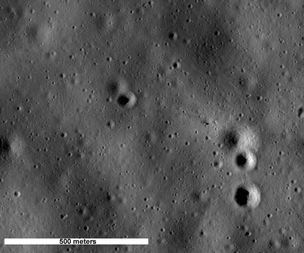
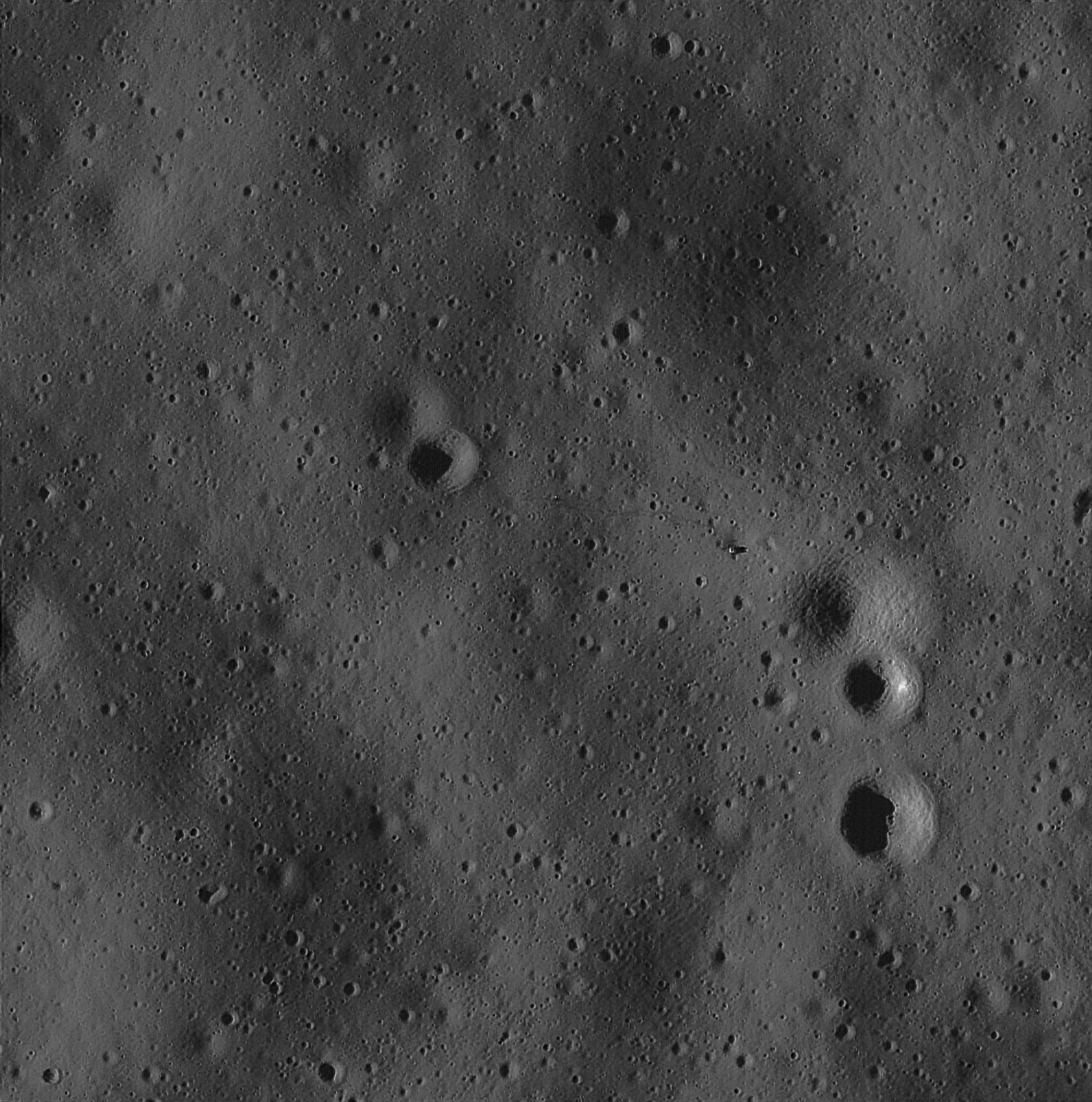
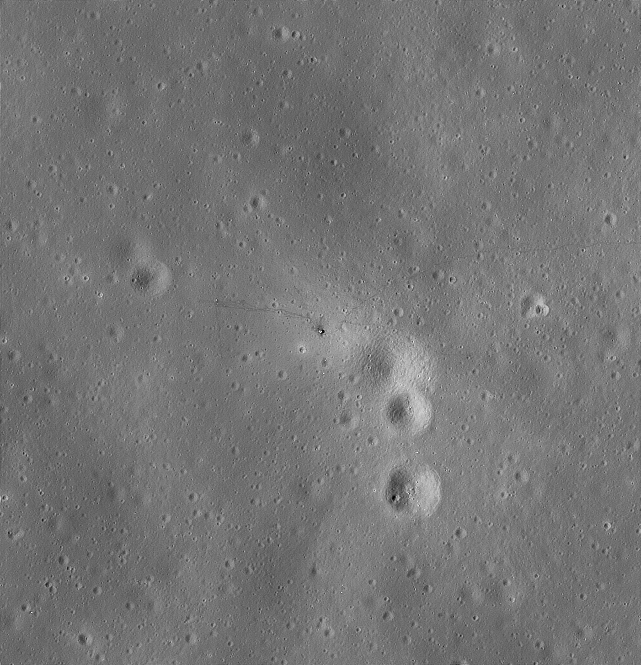
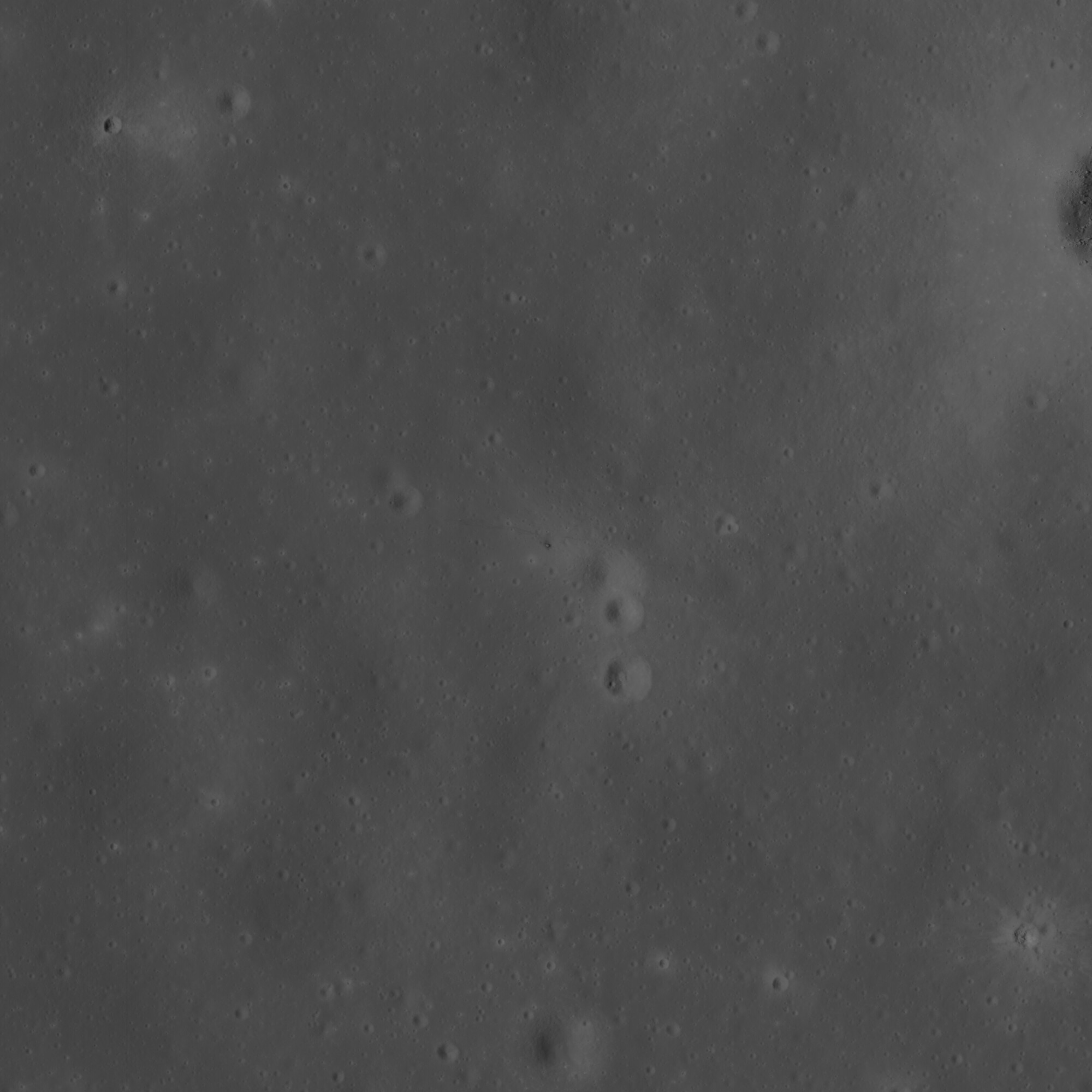
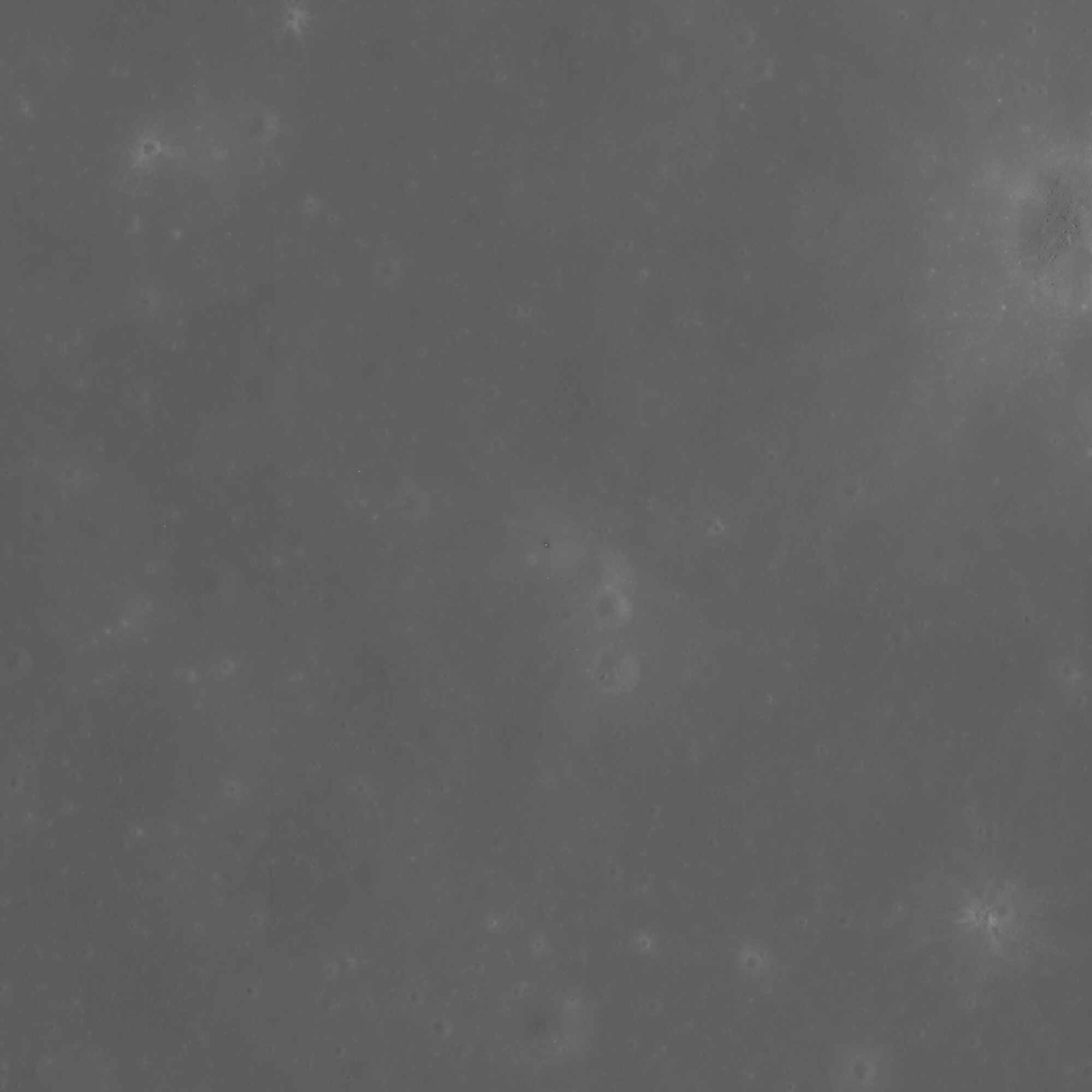
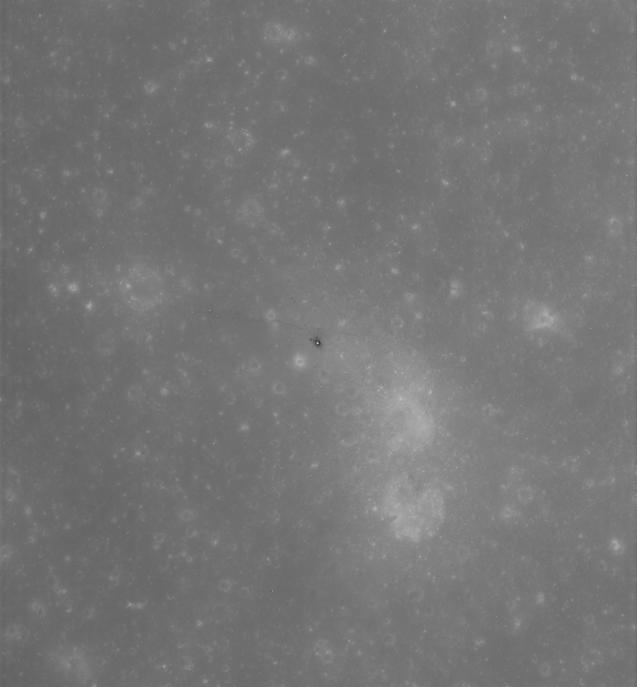
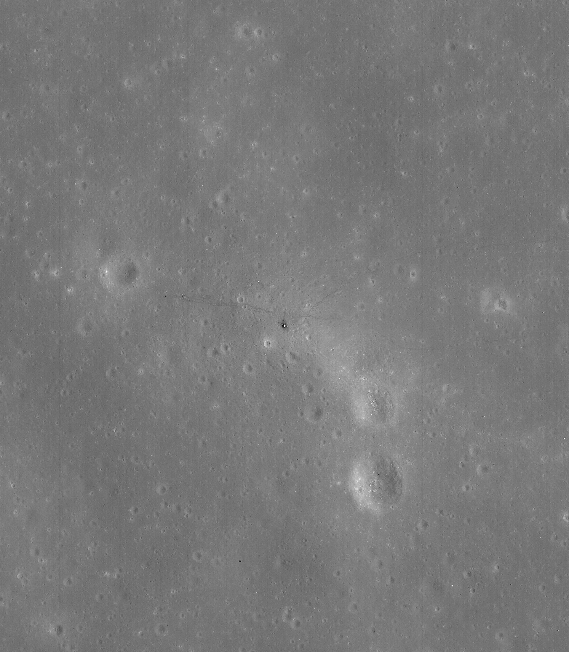
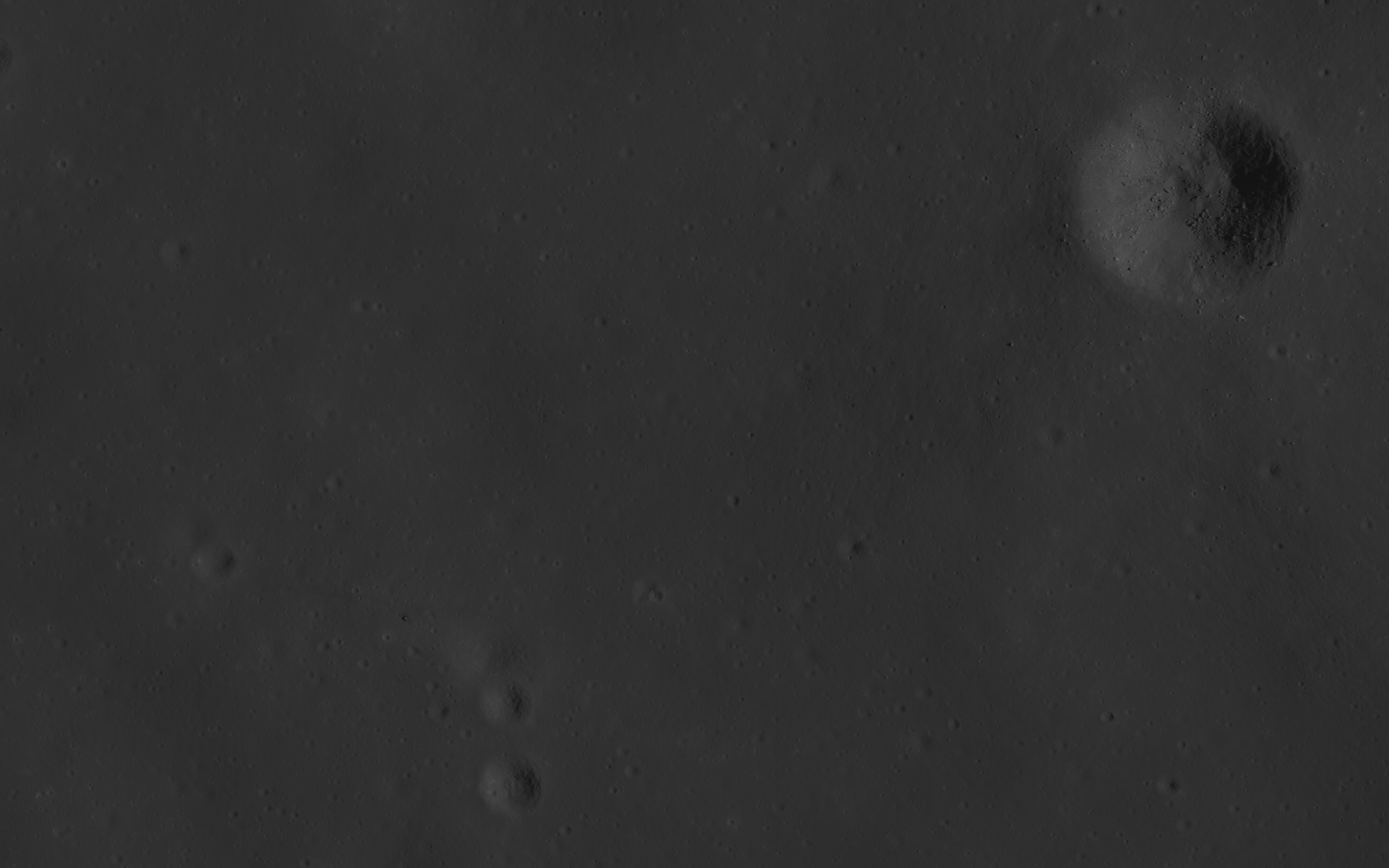
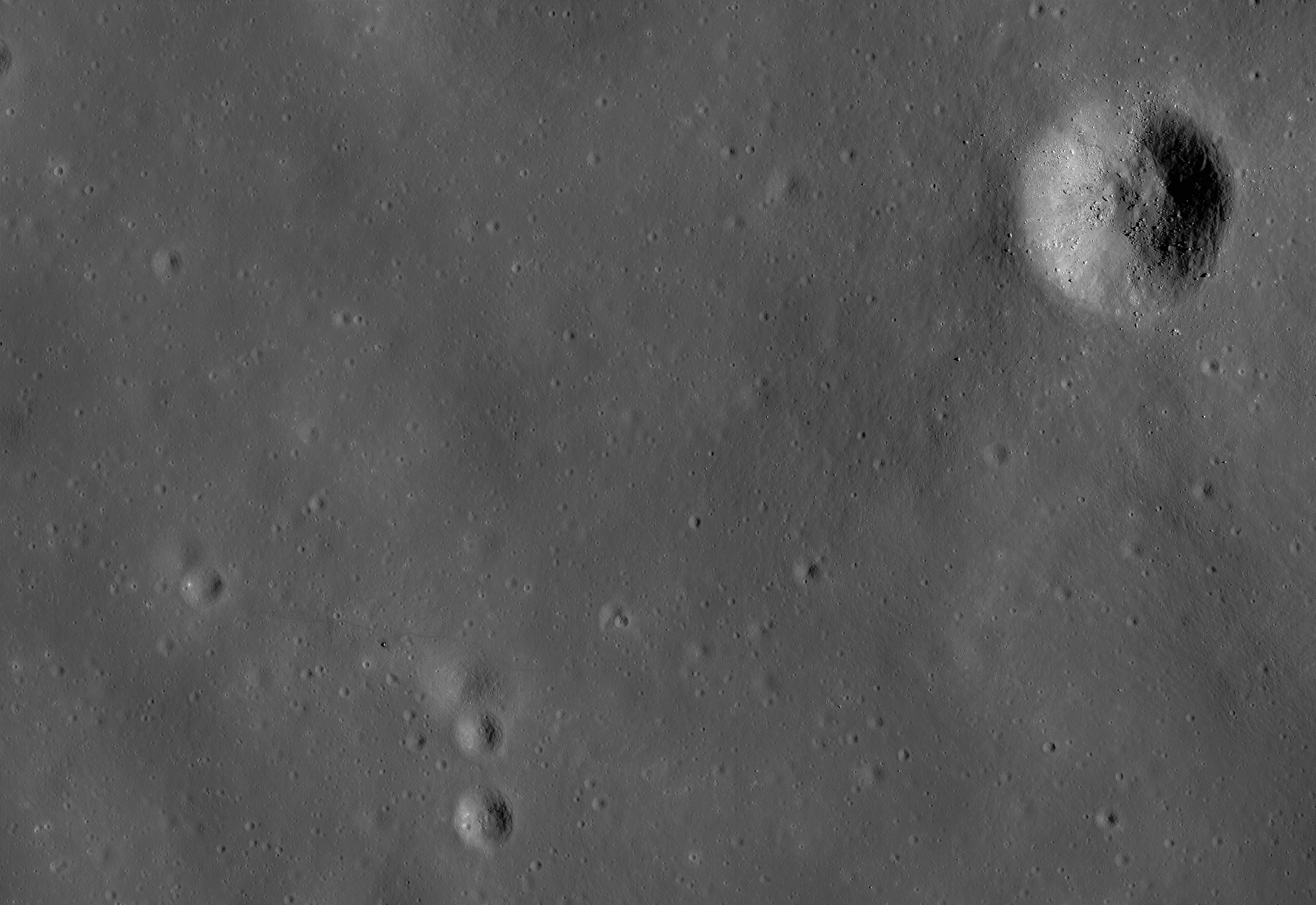
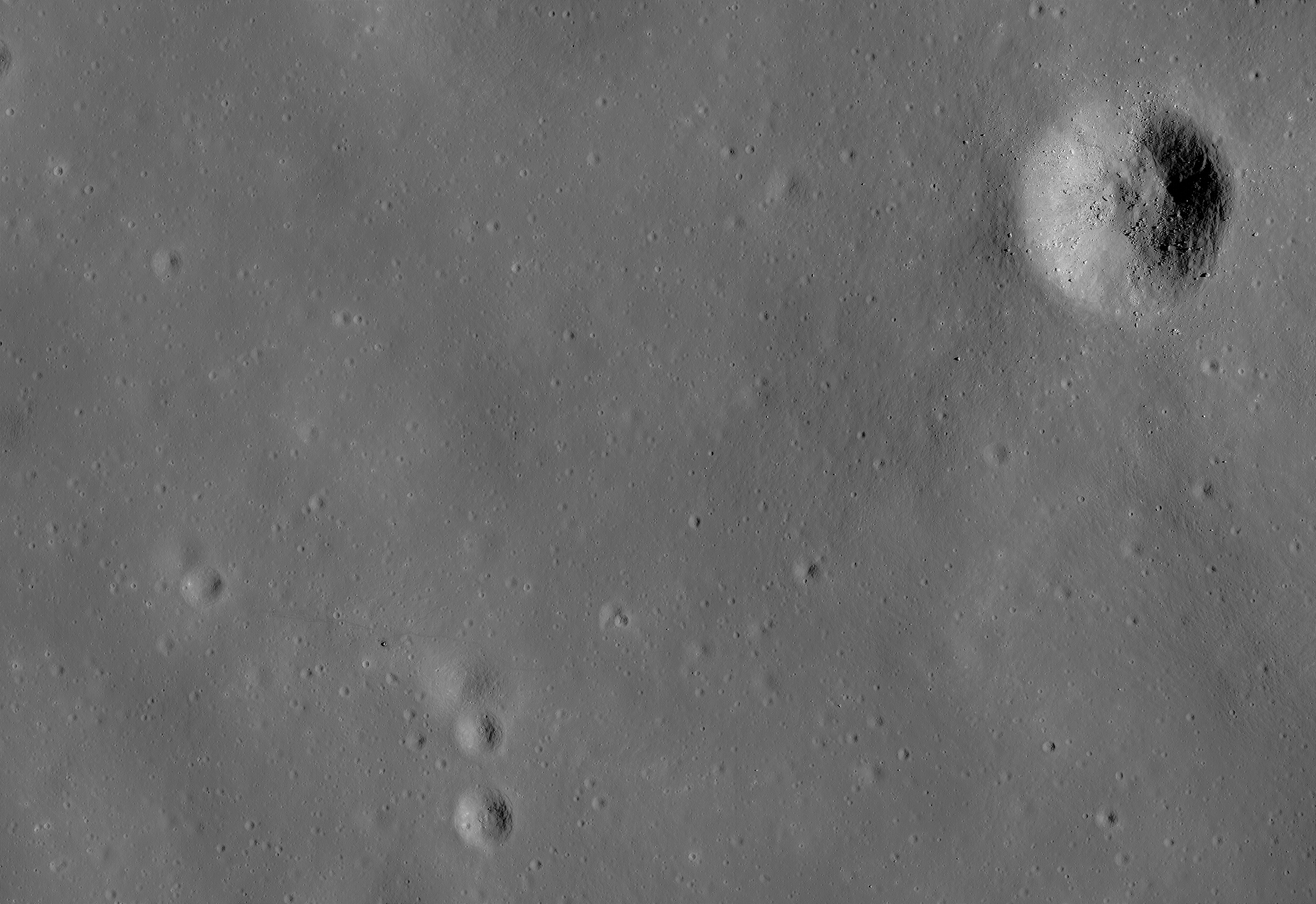
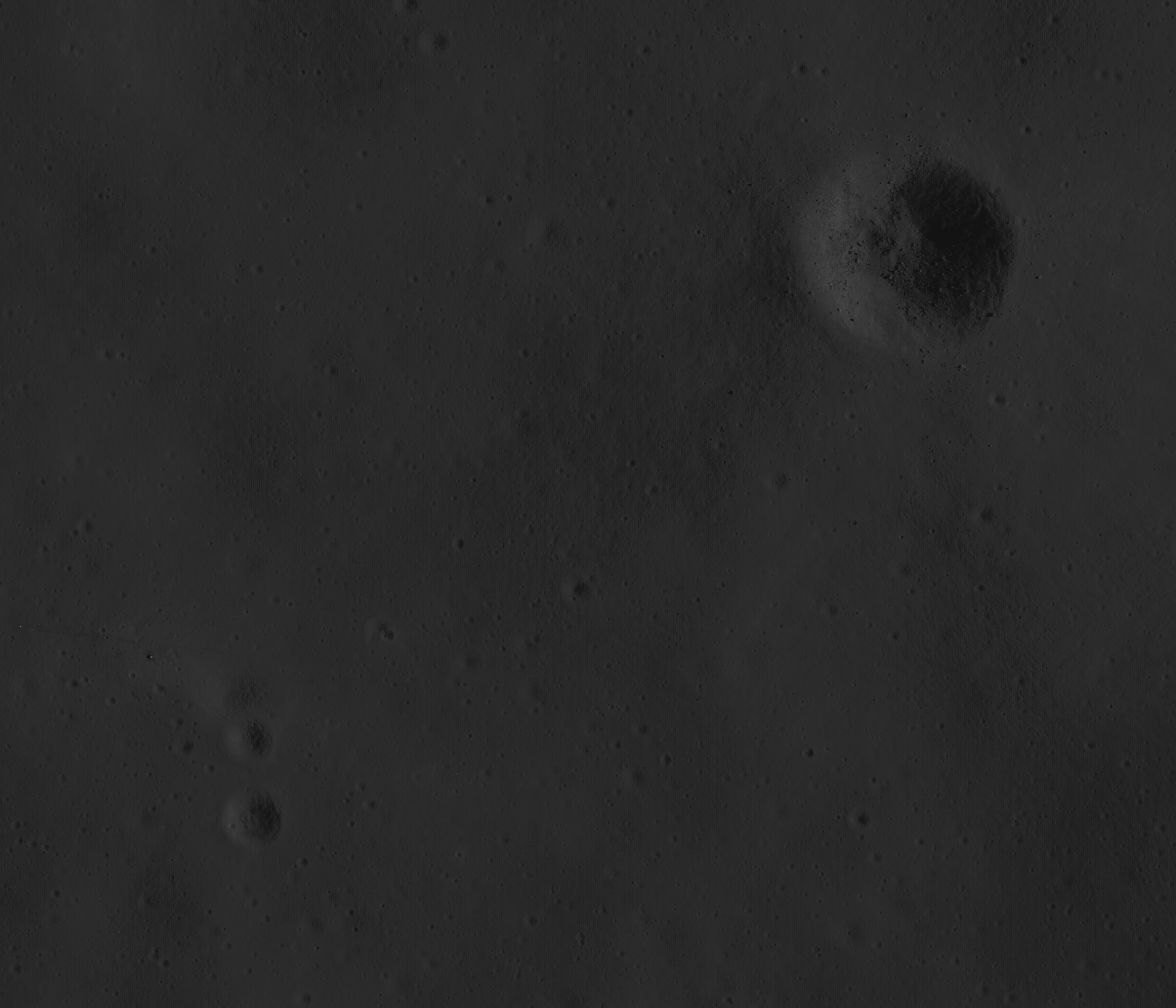
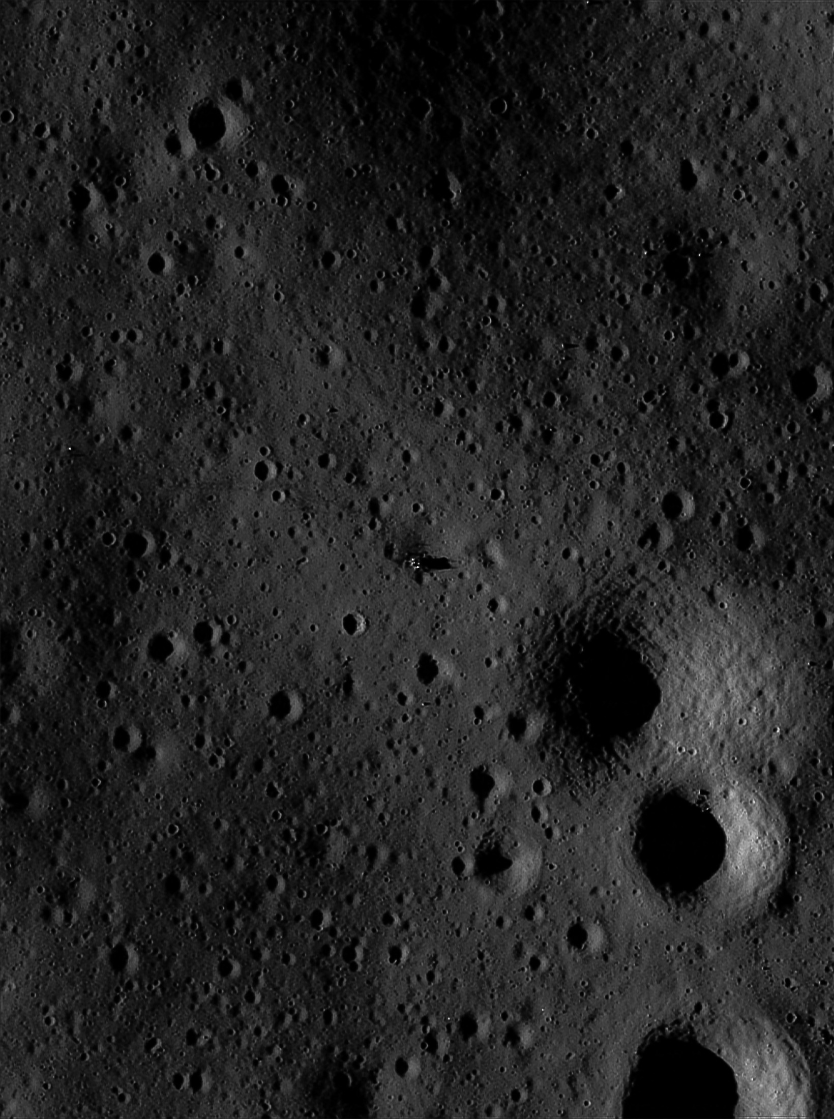
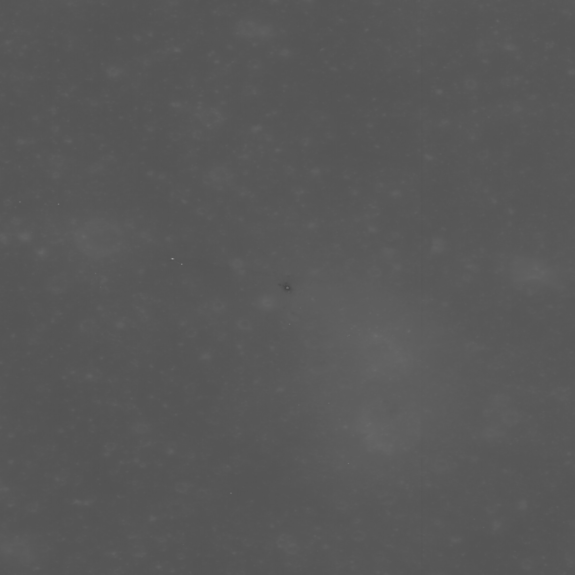
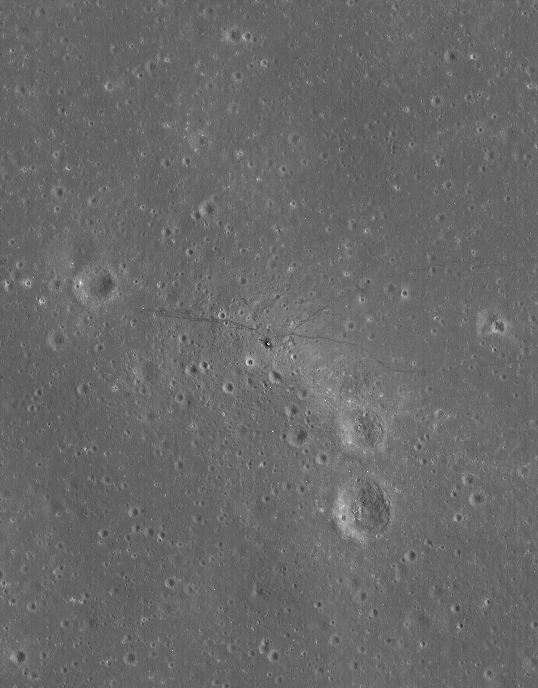
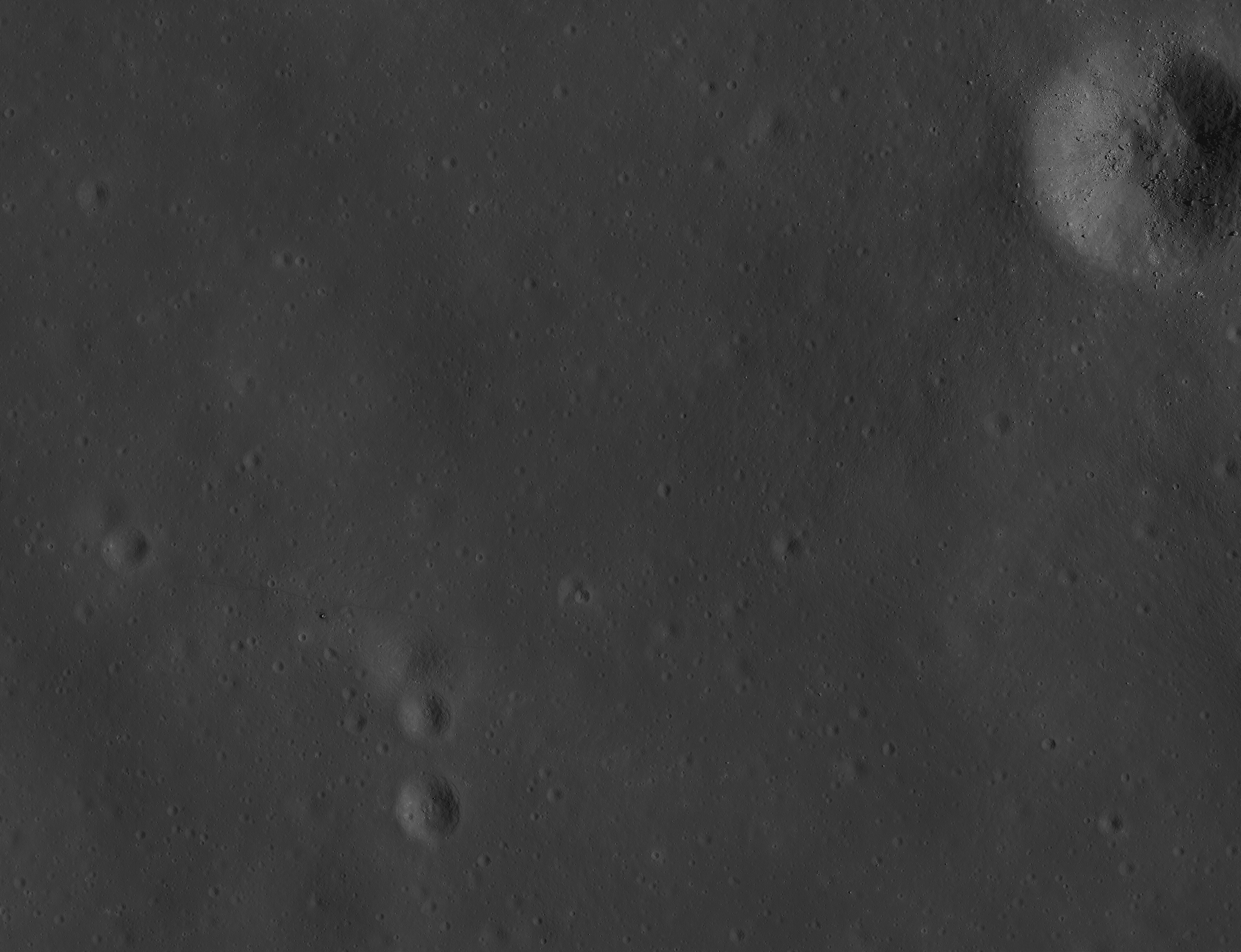
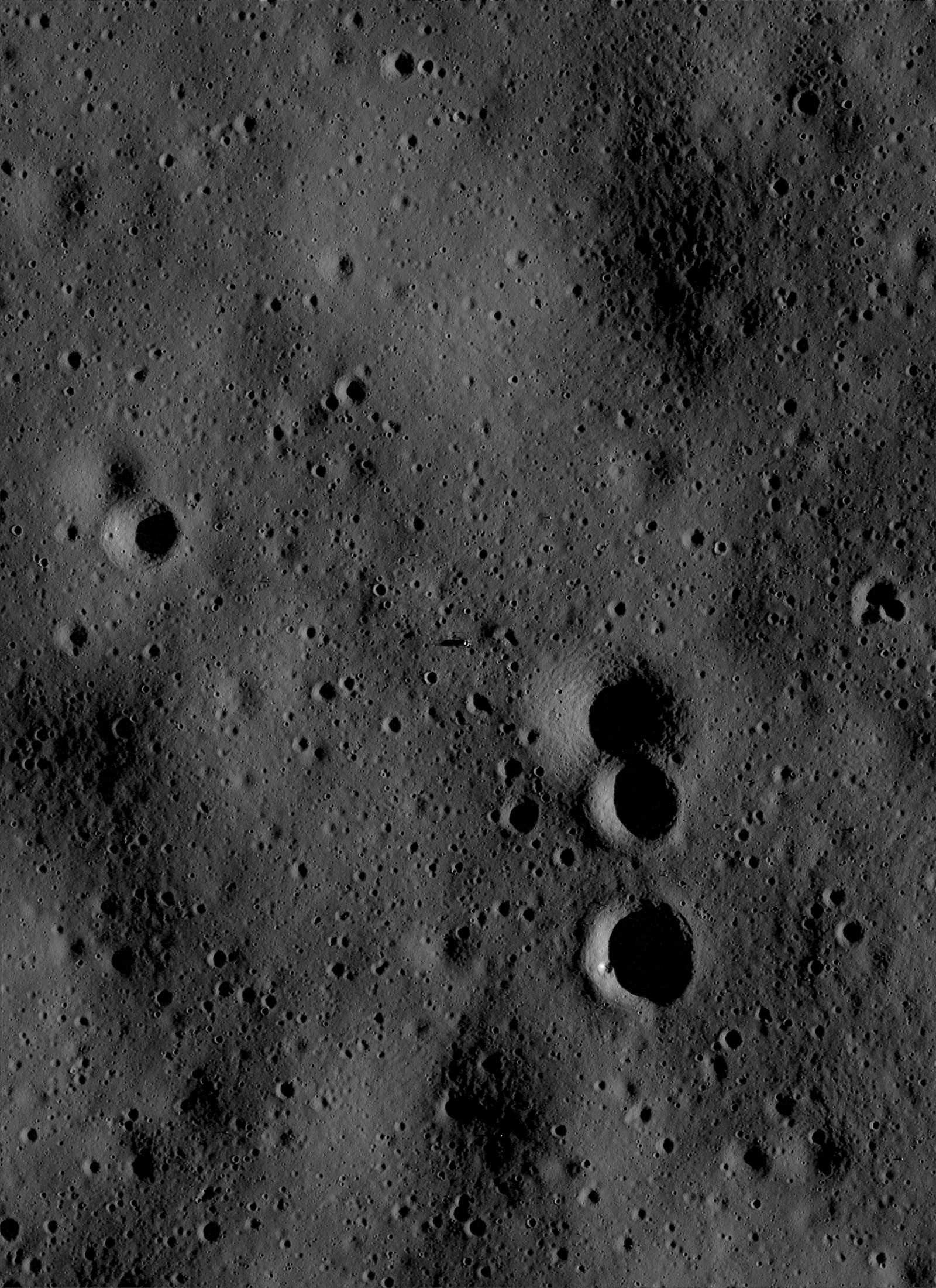
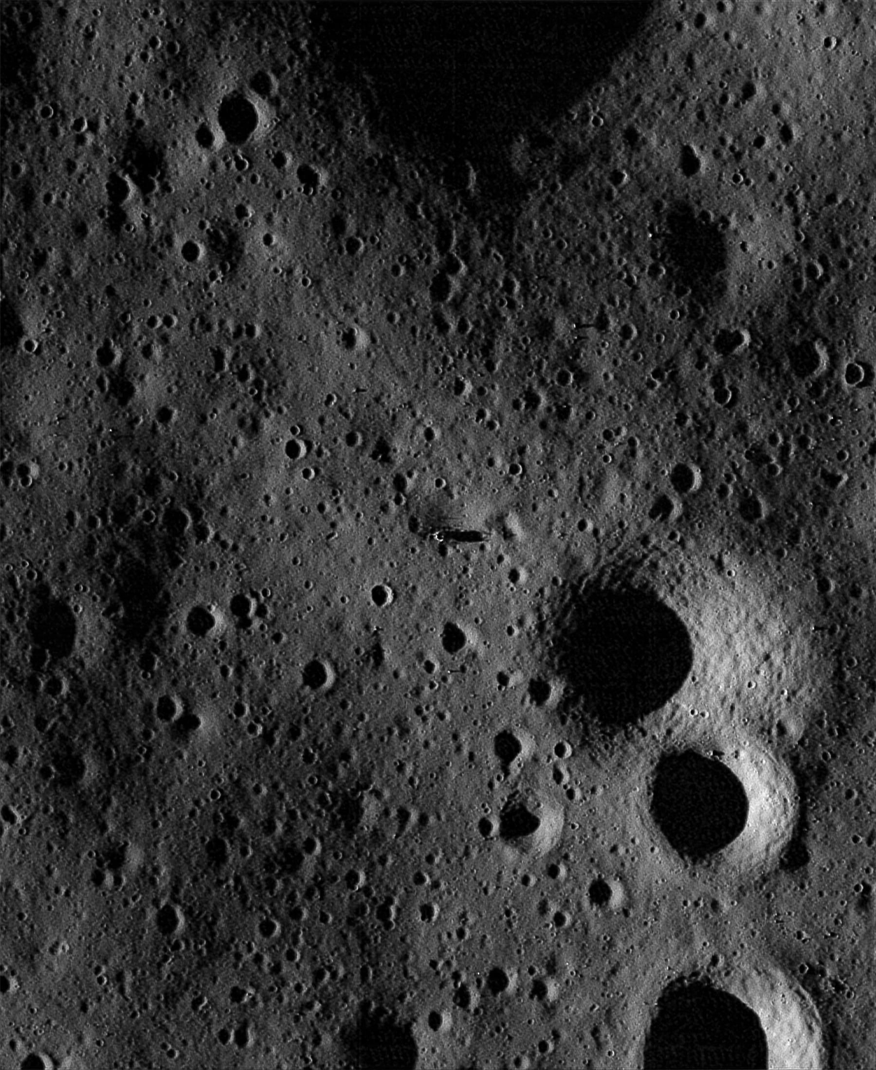
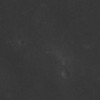
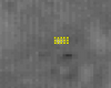
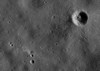
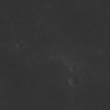
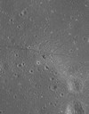
Image M106985205LE
photographed on September 7, 2009 at 17:52:18 UT
Image Data: M106985205LE.txt
 |
The raw LRO
image. |
|
|
 |
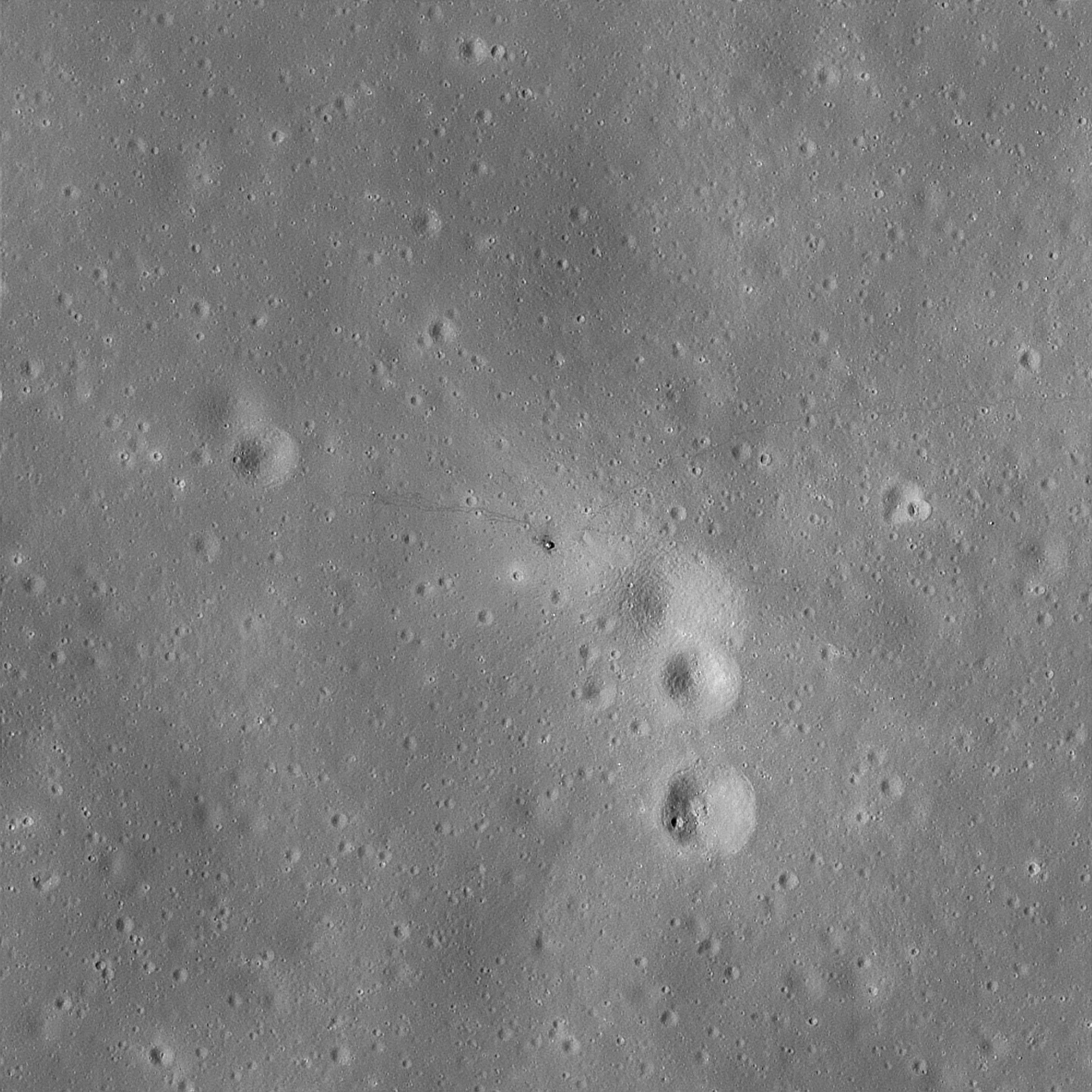
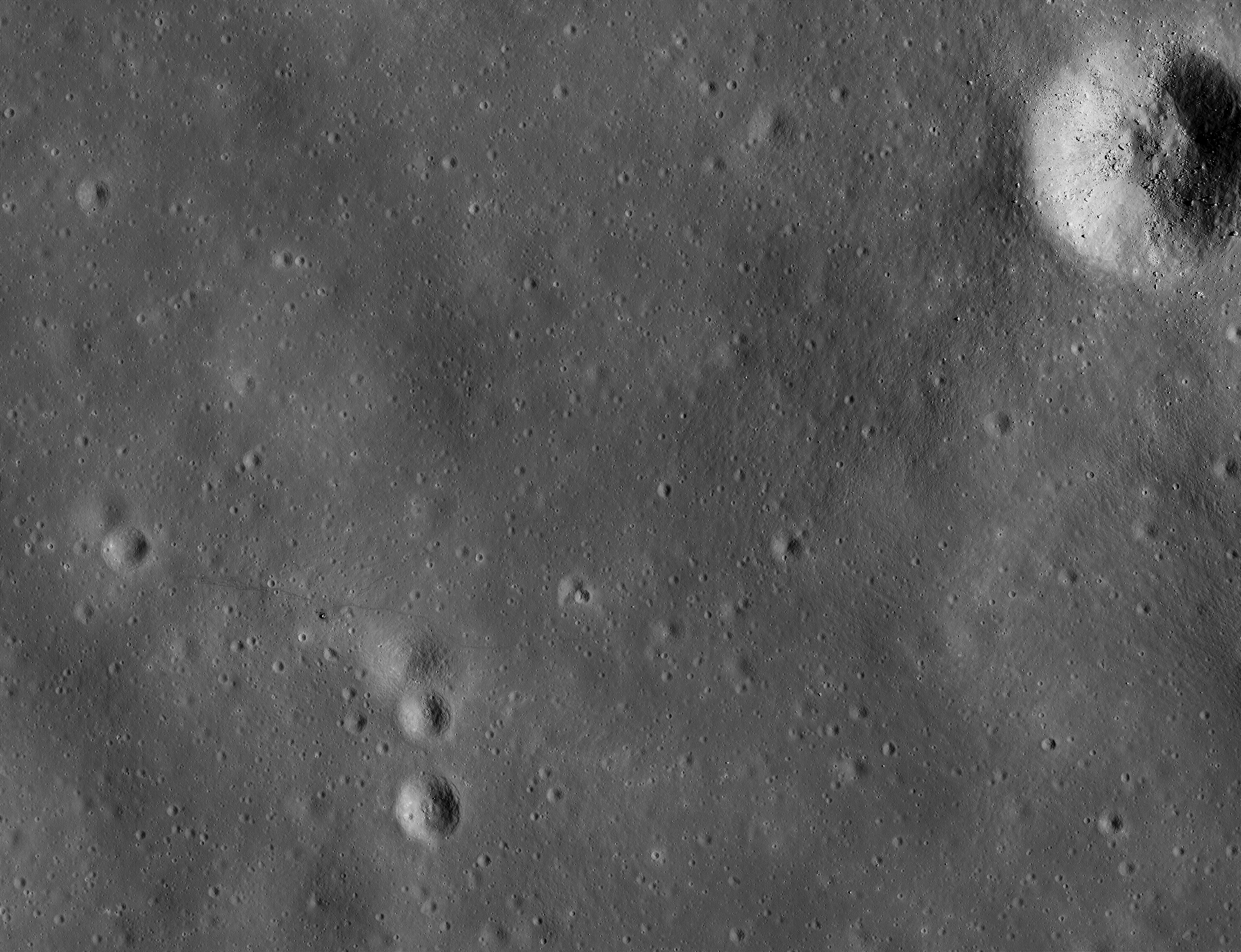
Deconvolved and
enhanced, 1.0 meters/pixel.
TIF
Image |
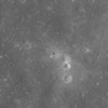 |
Deconvolved and
enhanced, 0.5 meters/pixel.
TIF
Image |
|
|
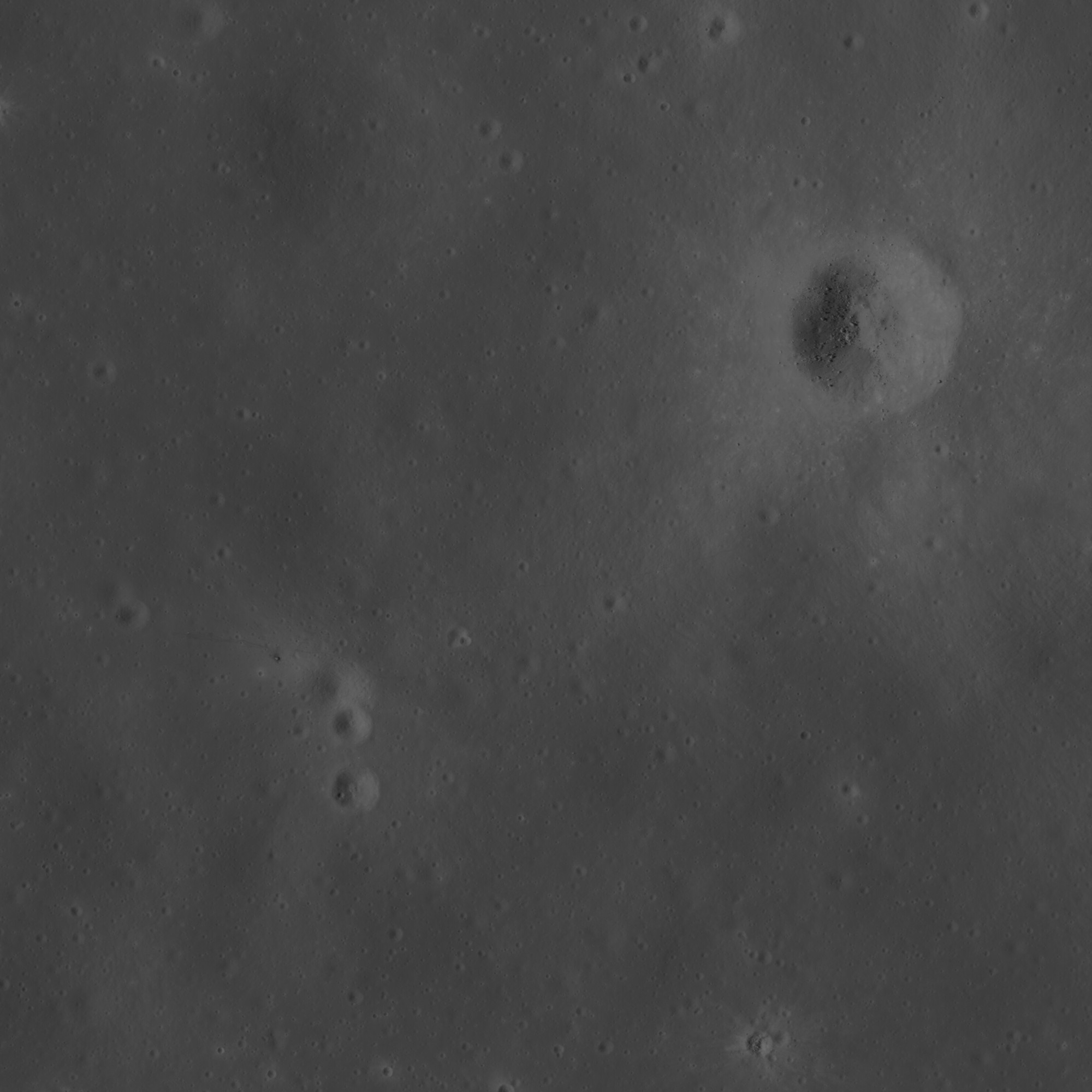
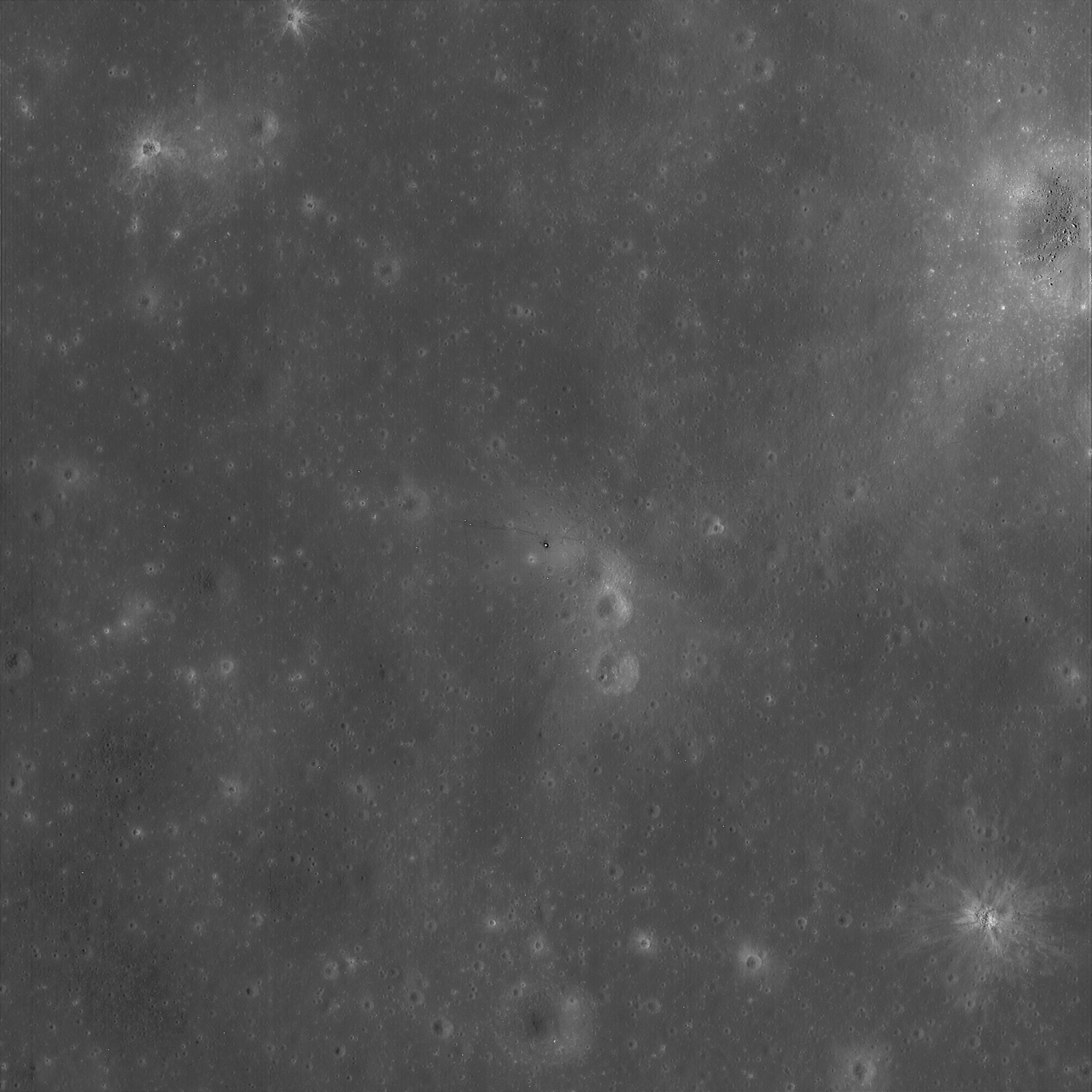
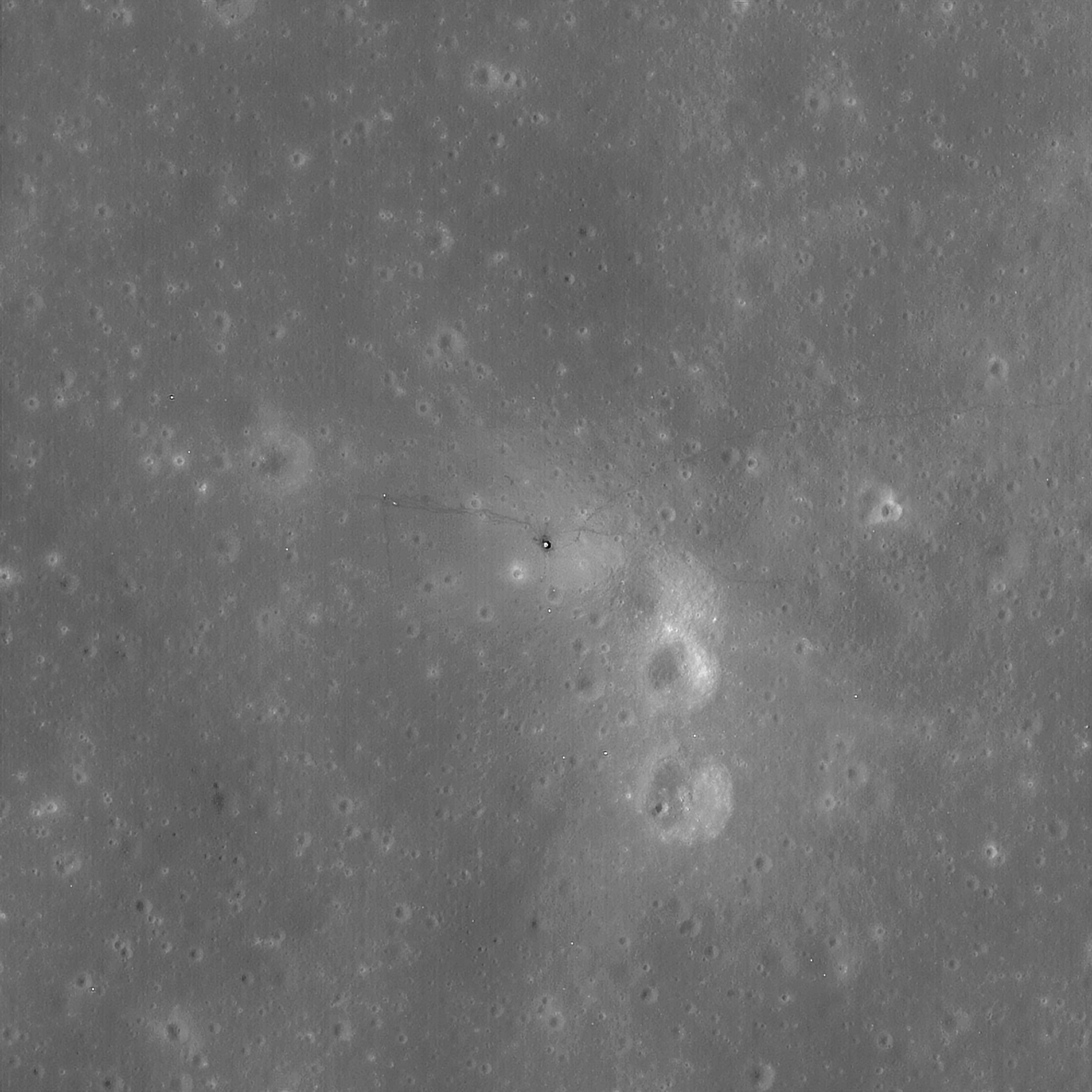
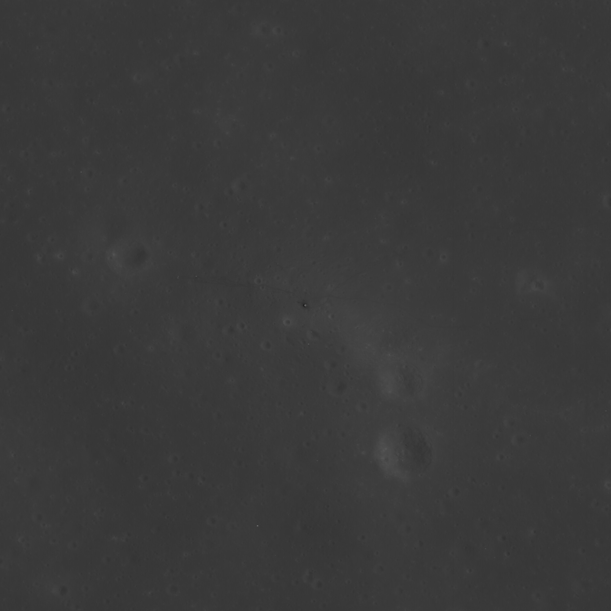
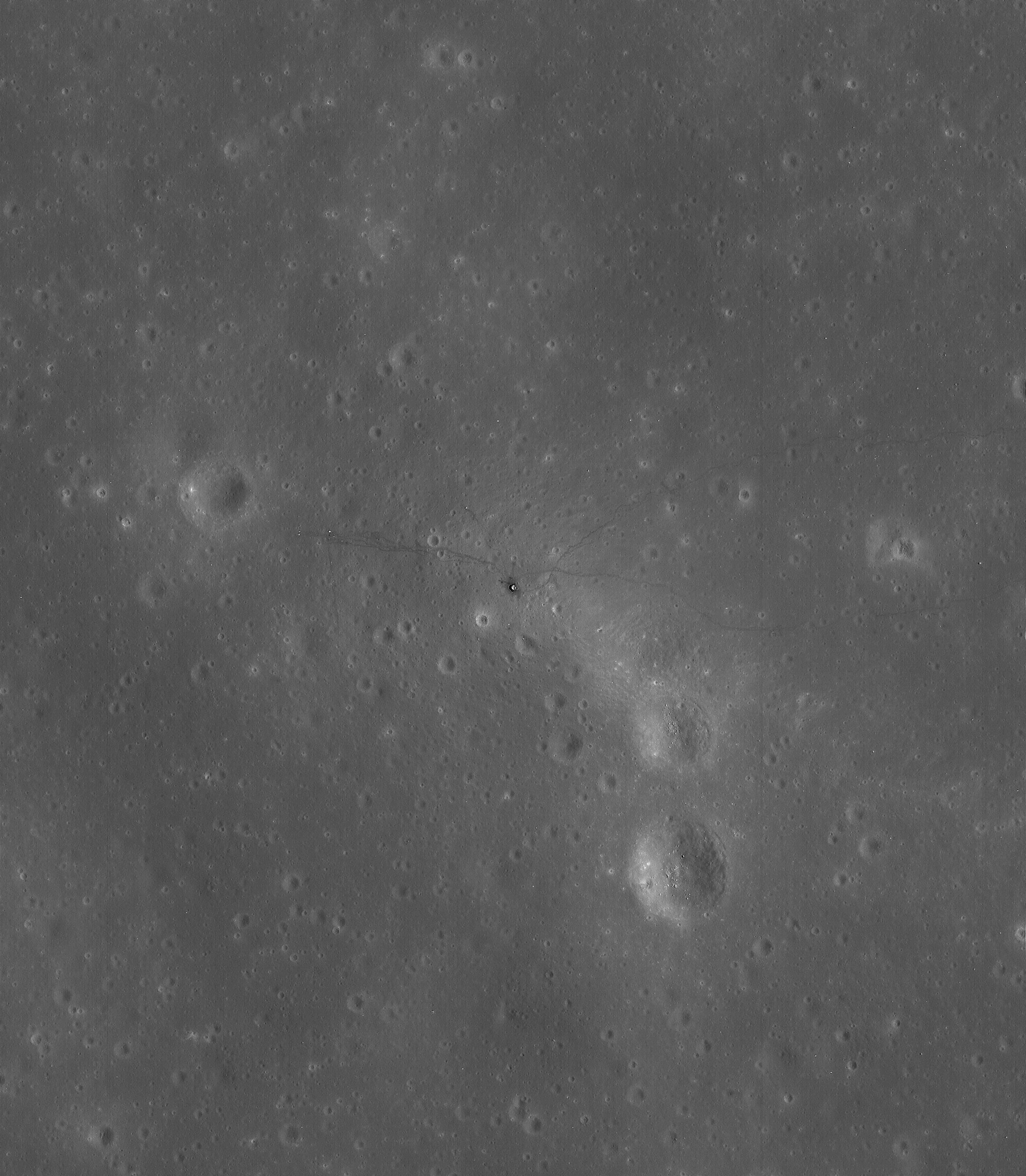
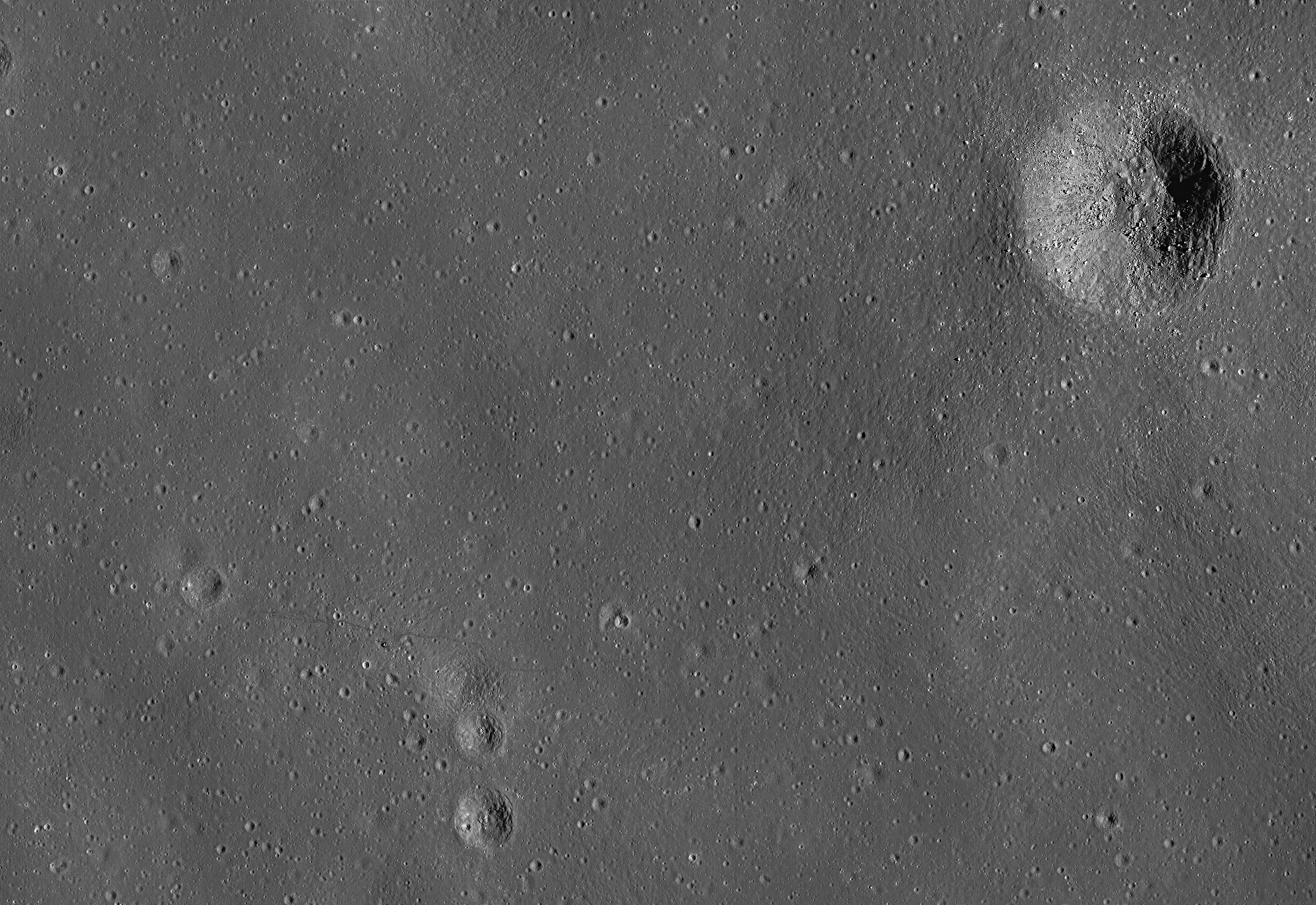
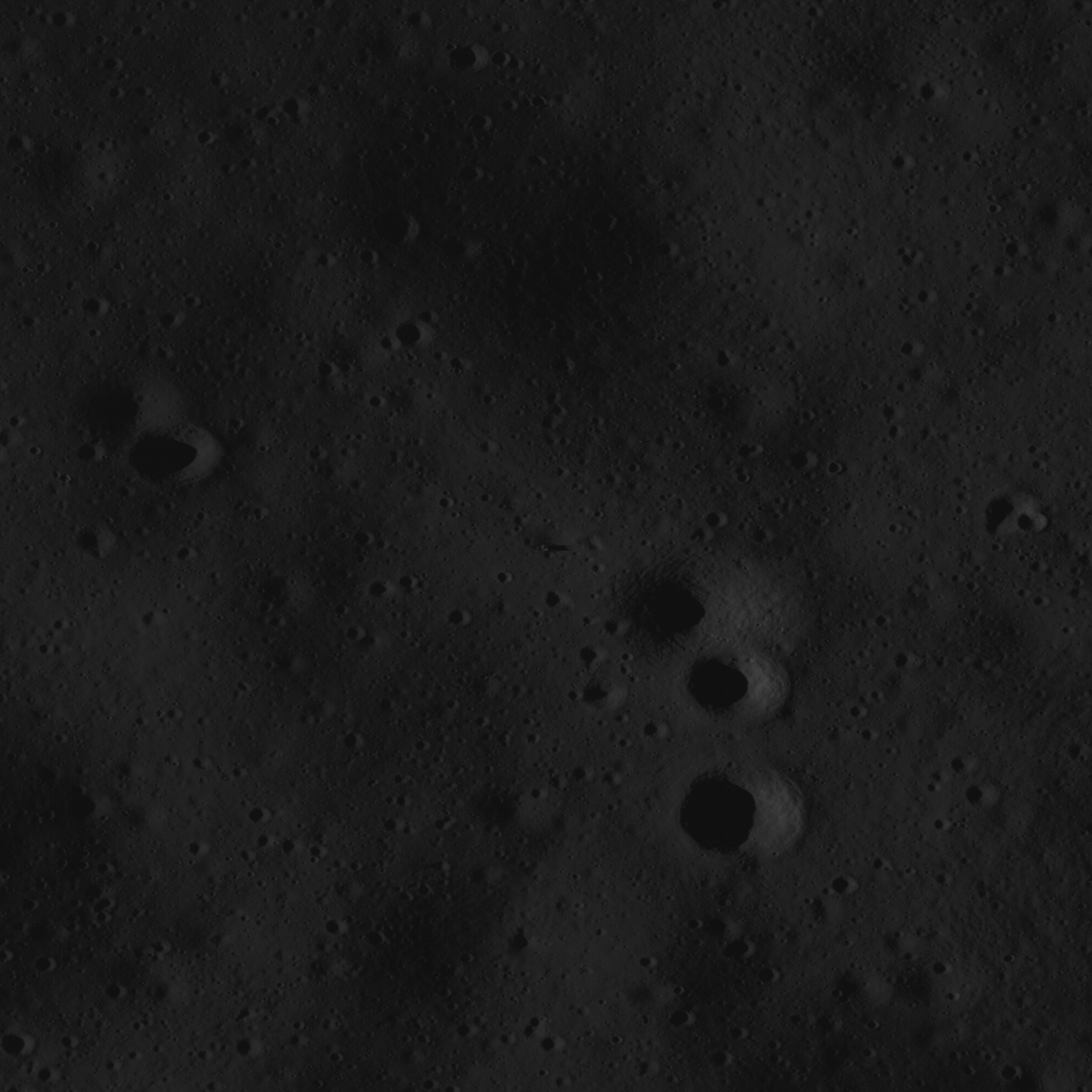
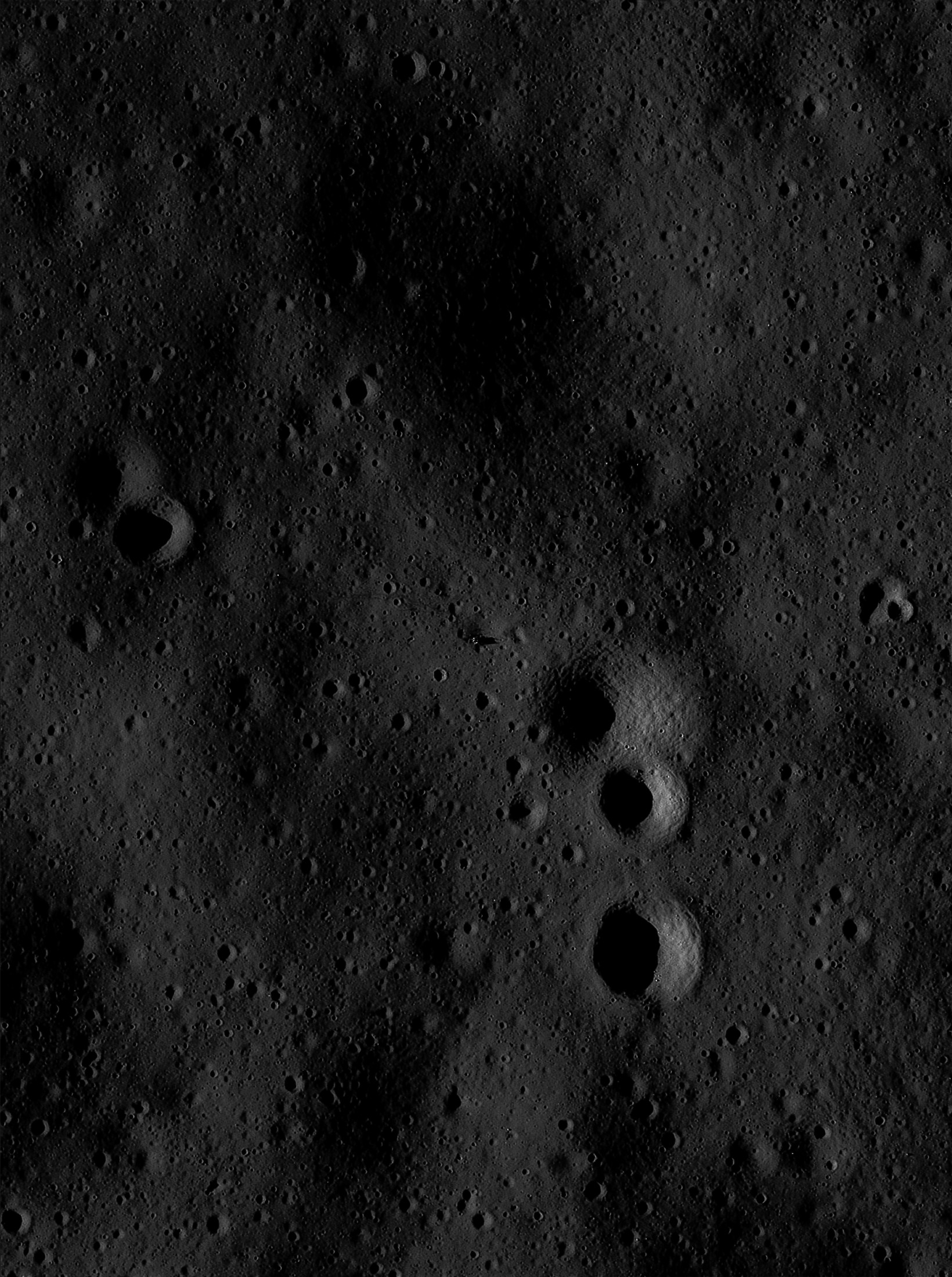
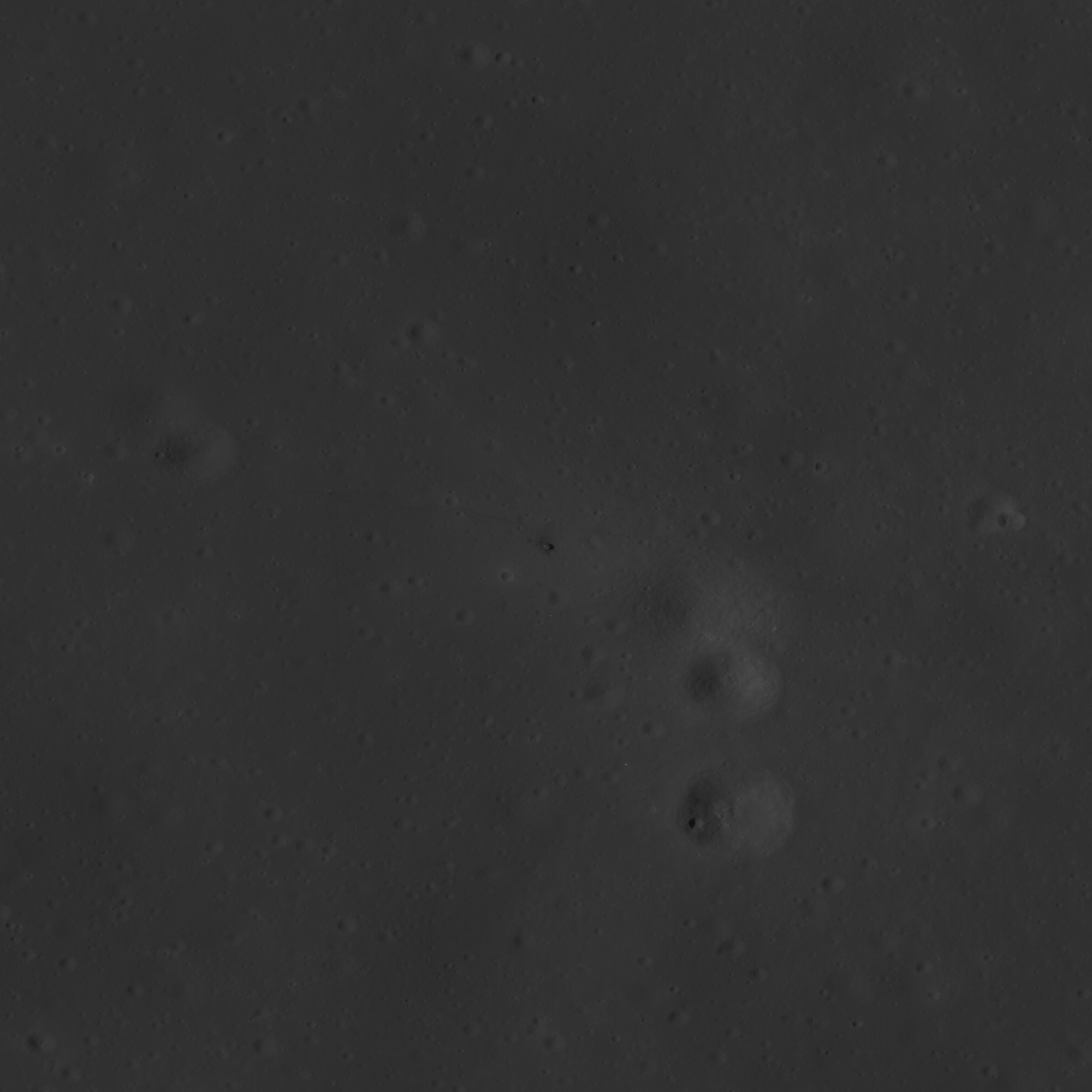
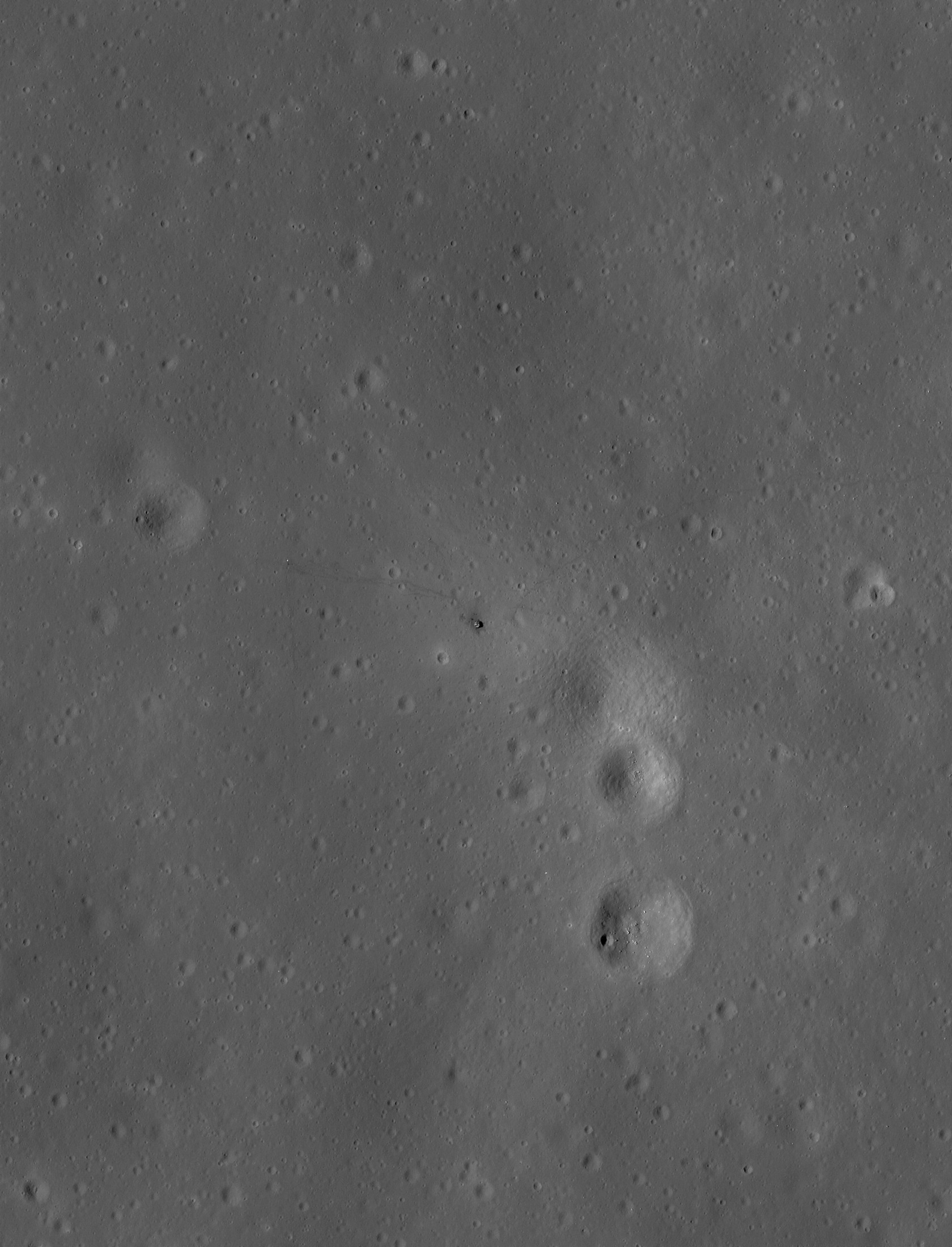
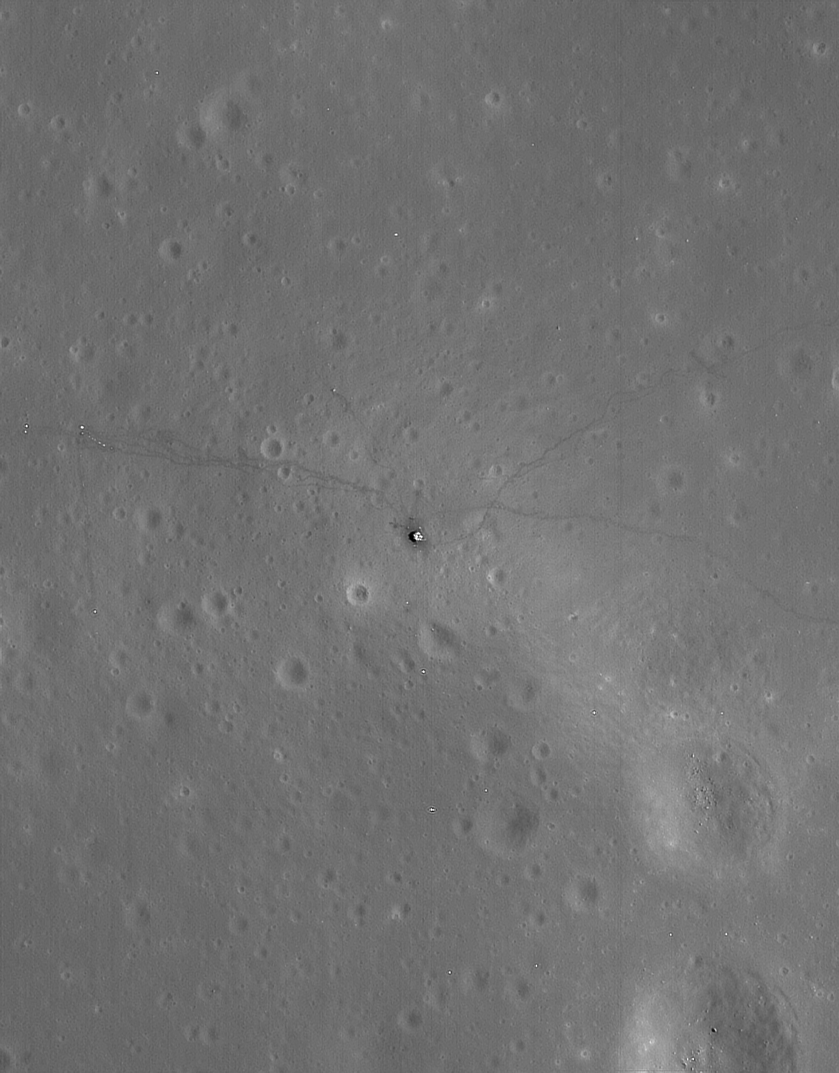
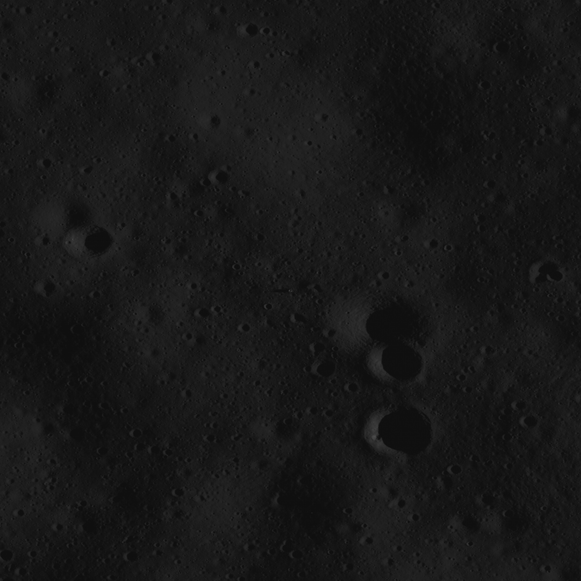
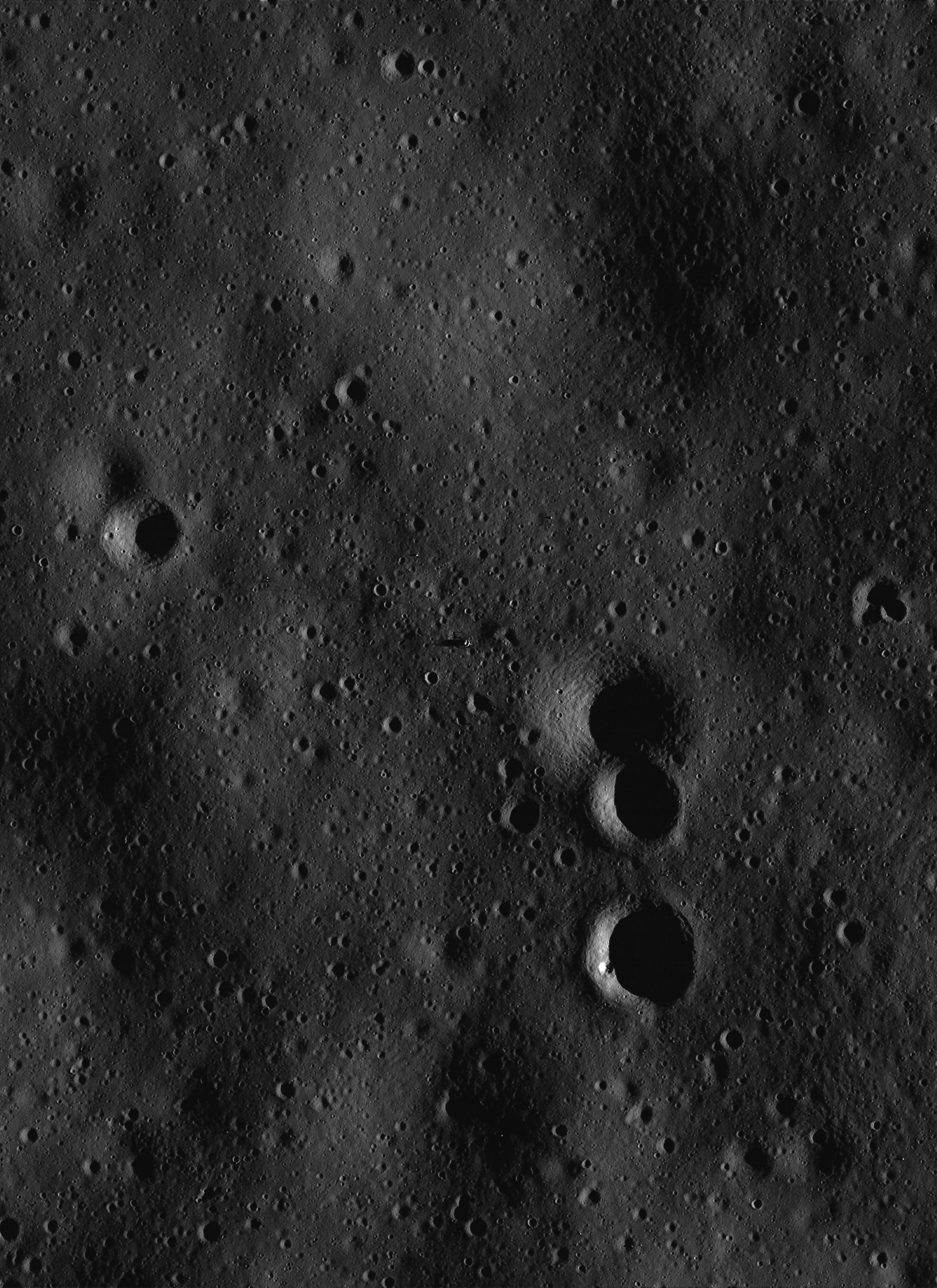
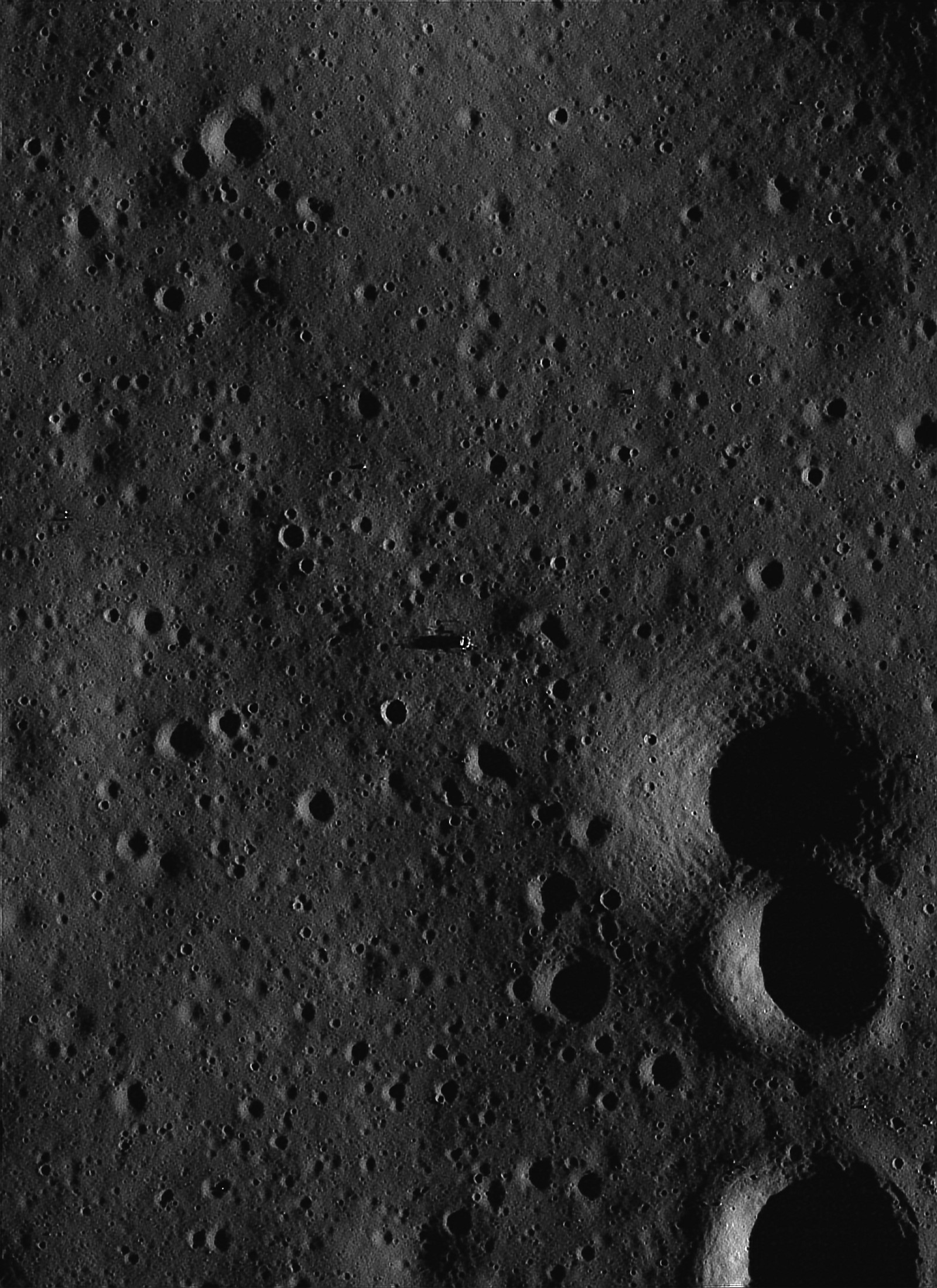
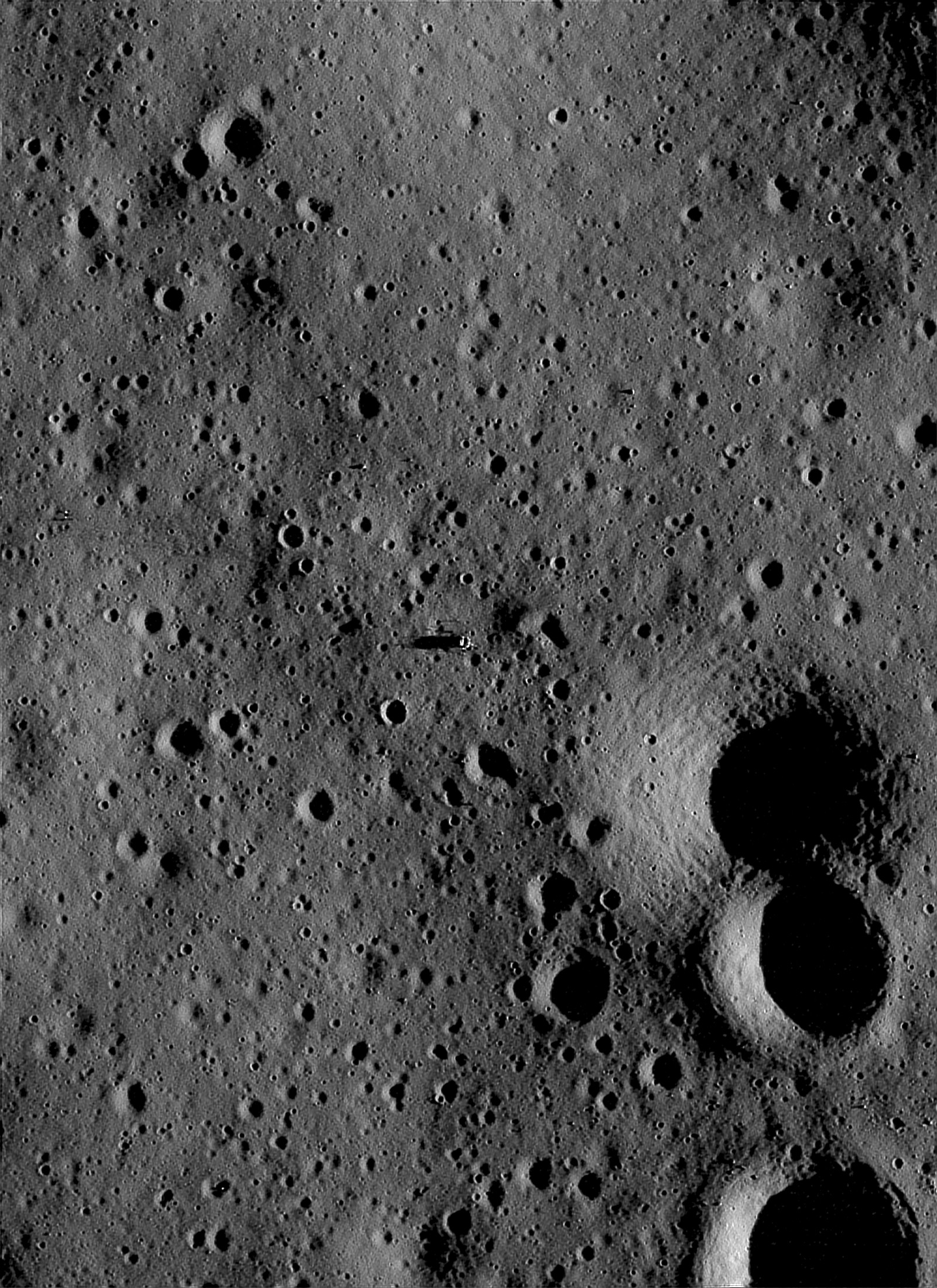
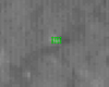
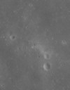
Image M109345337LE
photographed on October 5, 2009 at 01:27:49 UT
Image Data: M109345337LE.txt
 |
The raw LRO
image. |
|
|
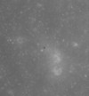 |
Deconvolved and
enhanced, 0.5 meters/pixel.
TIF
Image |
 |
Deconvolved and
enhanced, 0.25 meters/pixel.
TIF
Image |
|
|
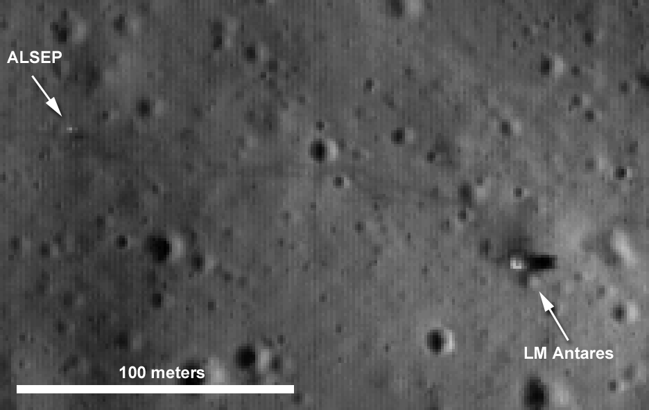
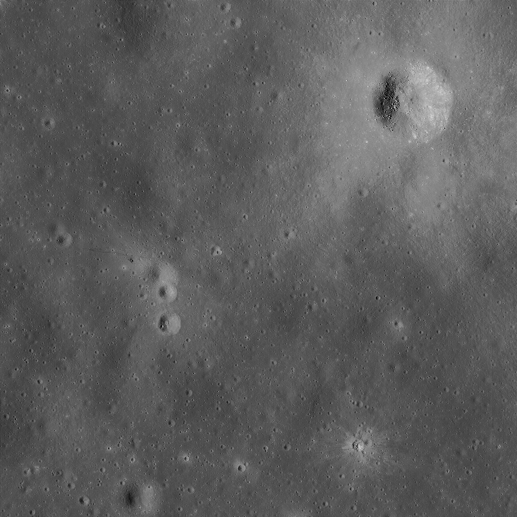
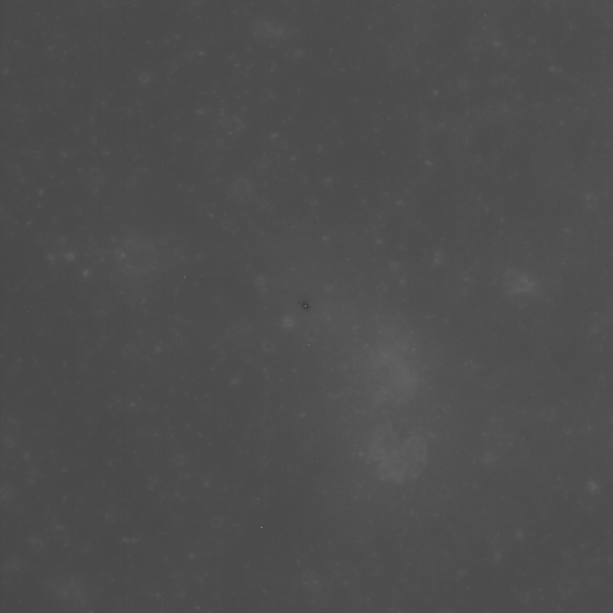
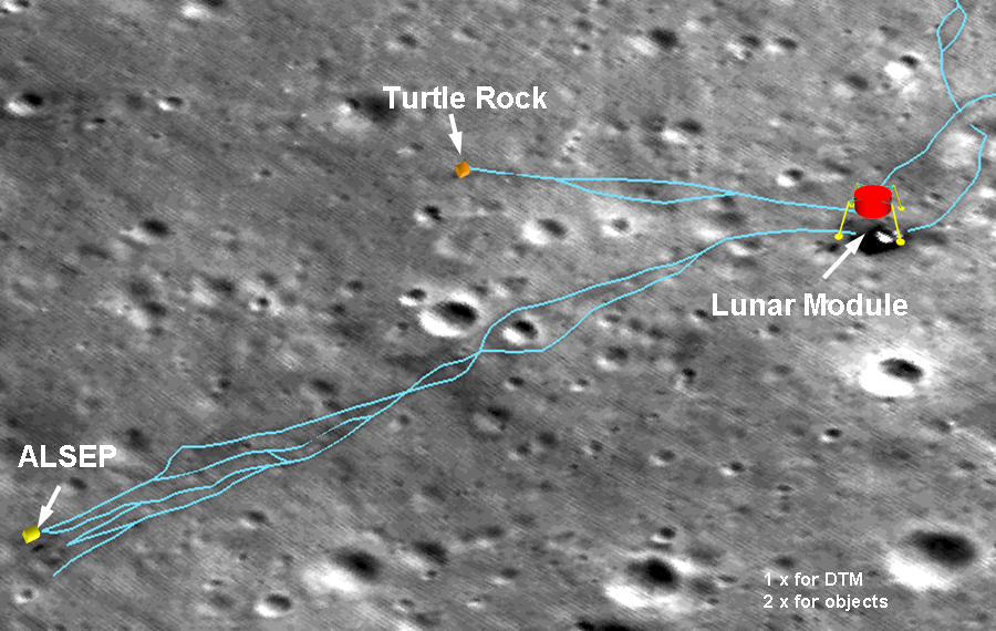
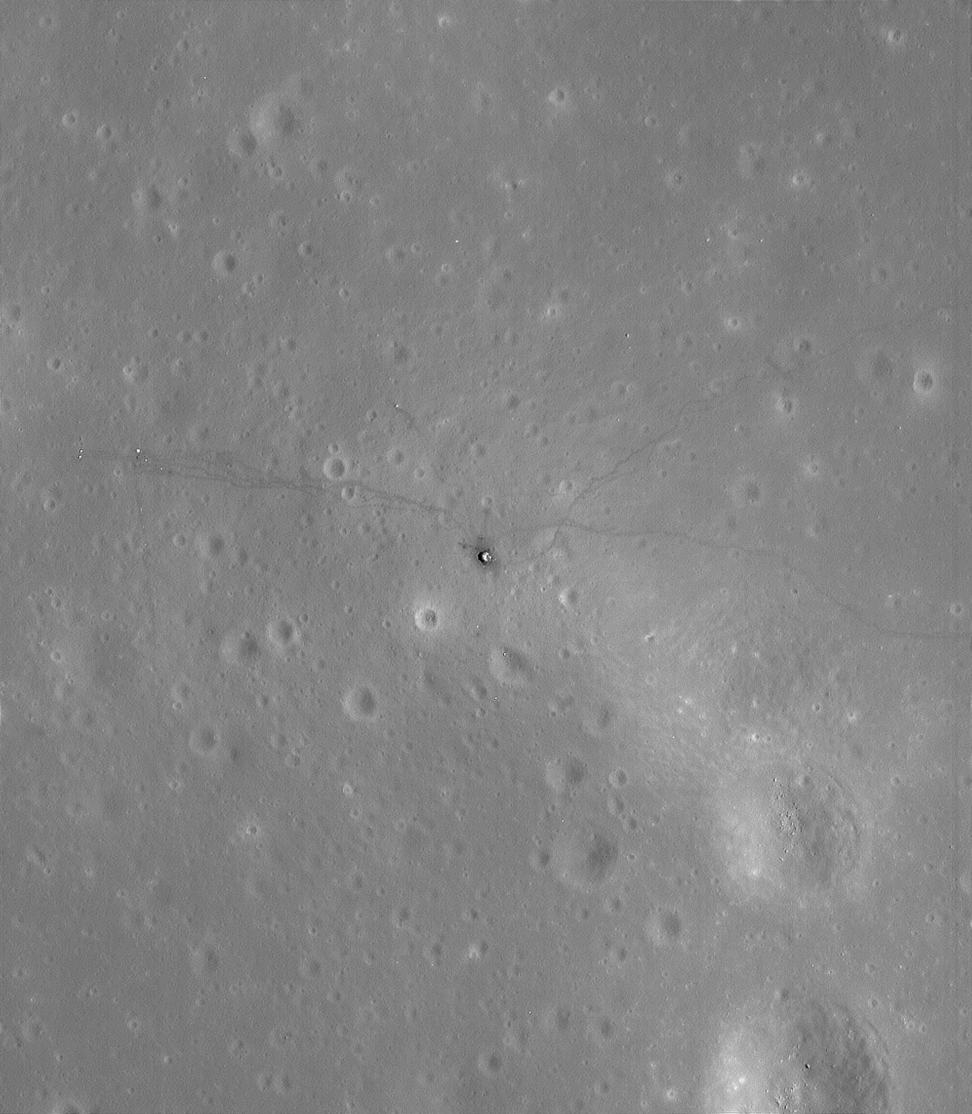
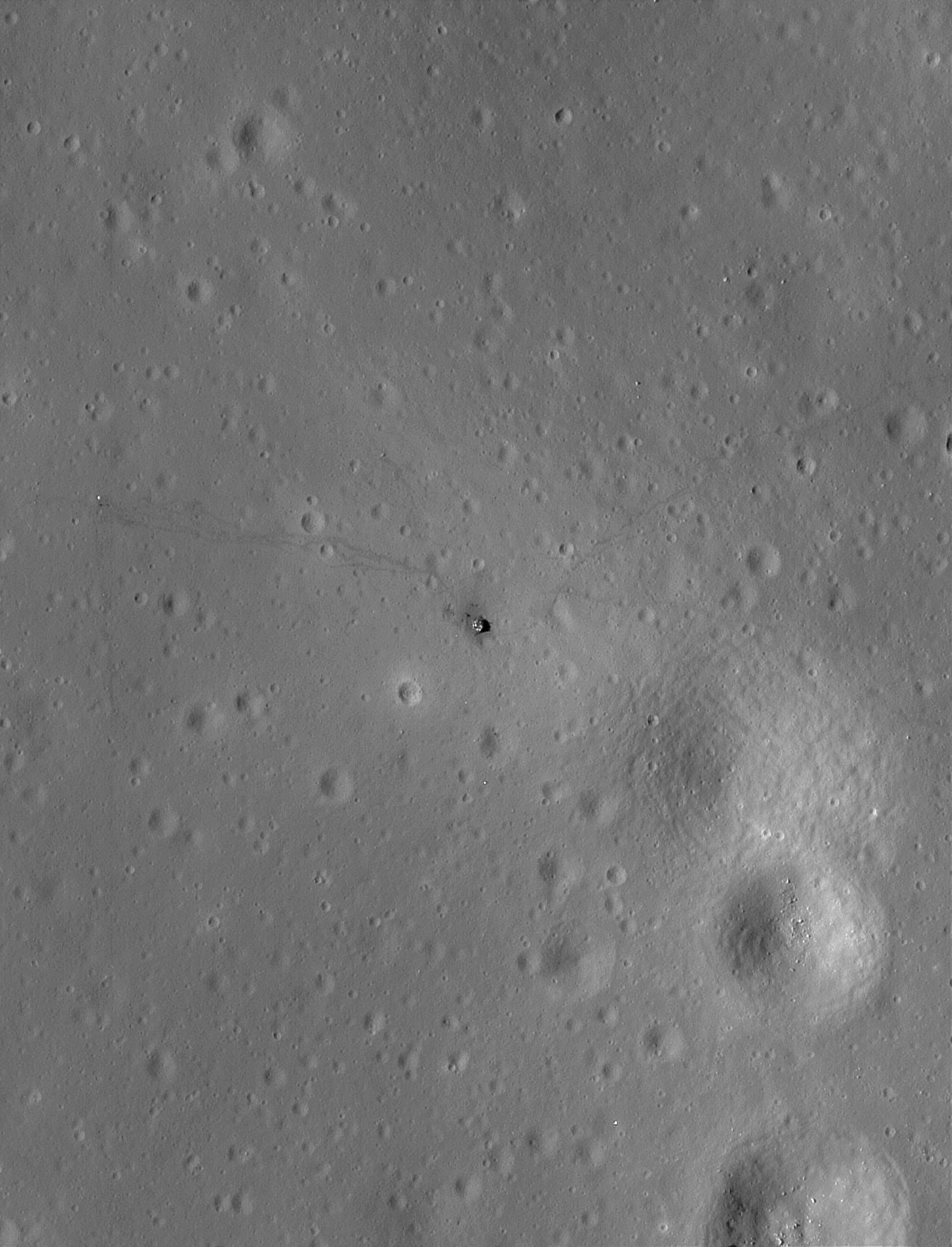
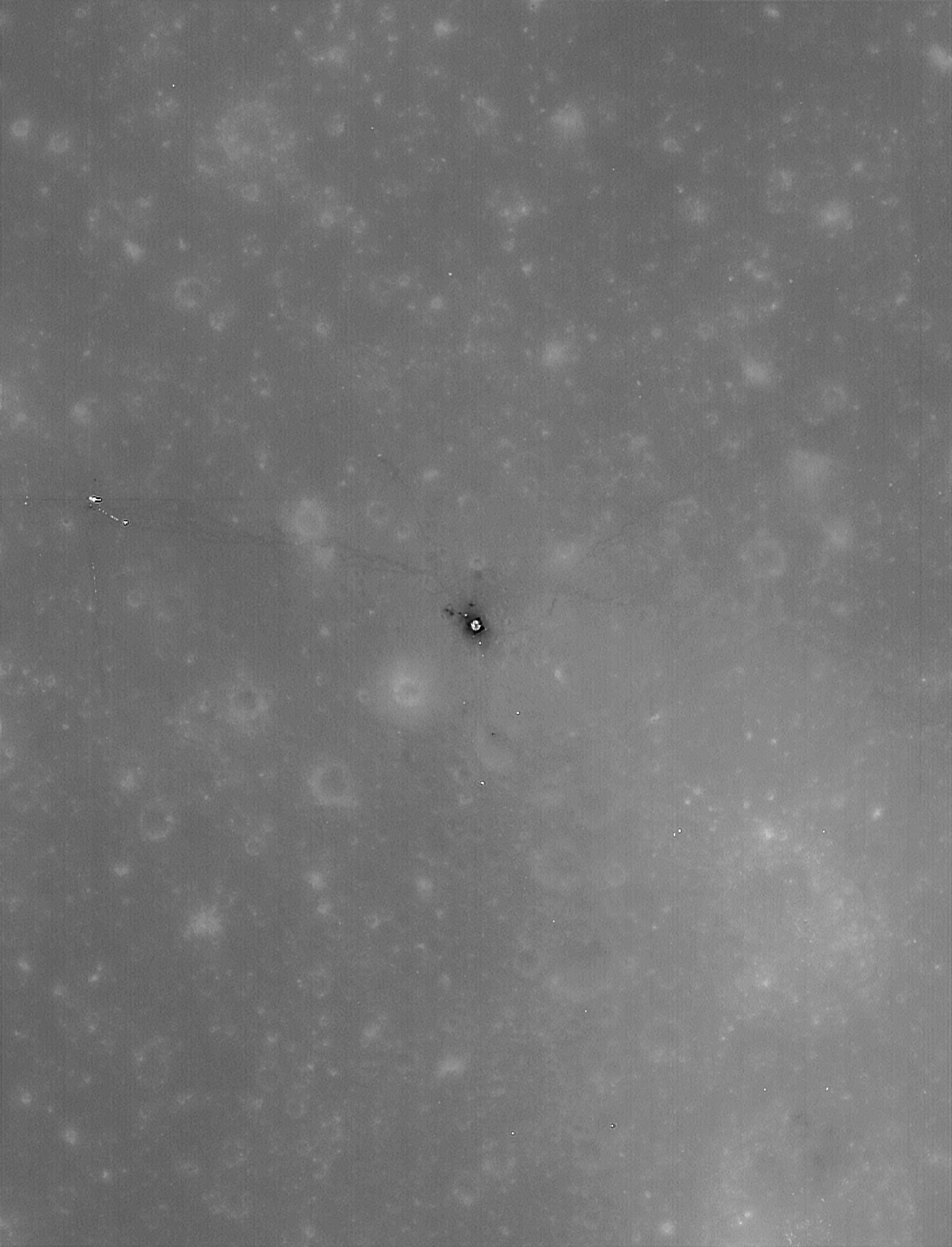
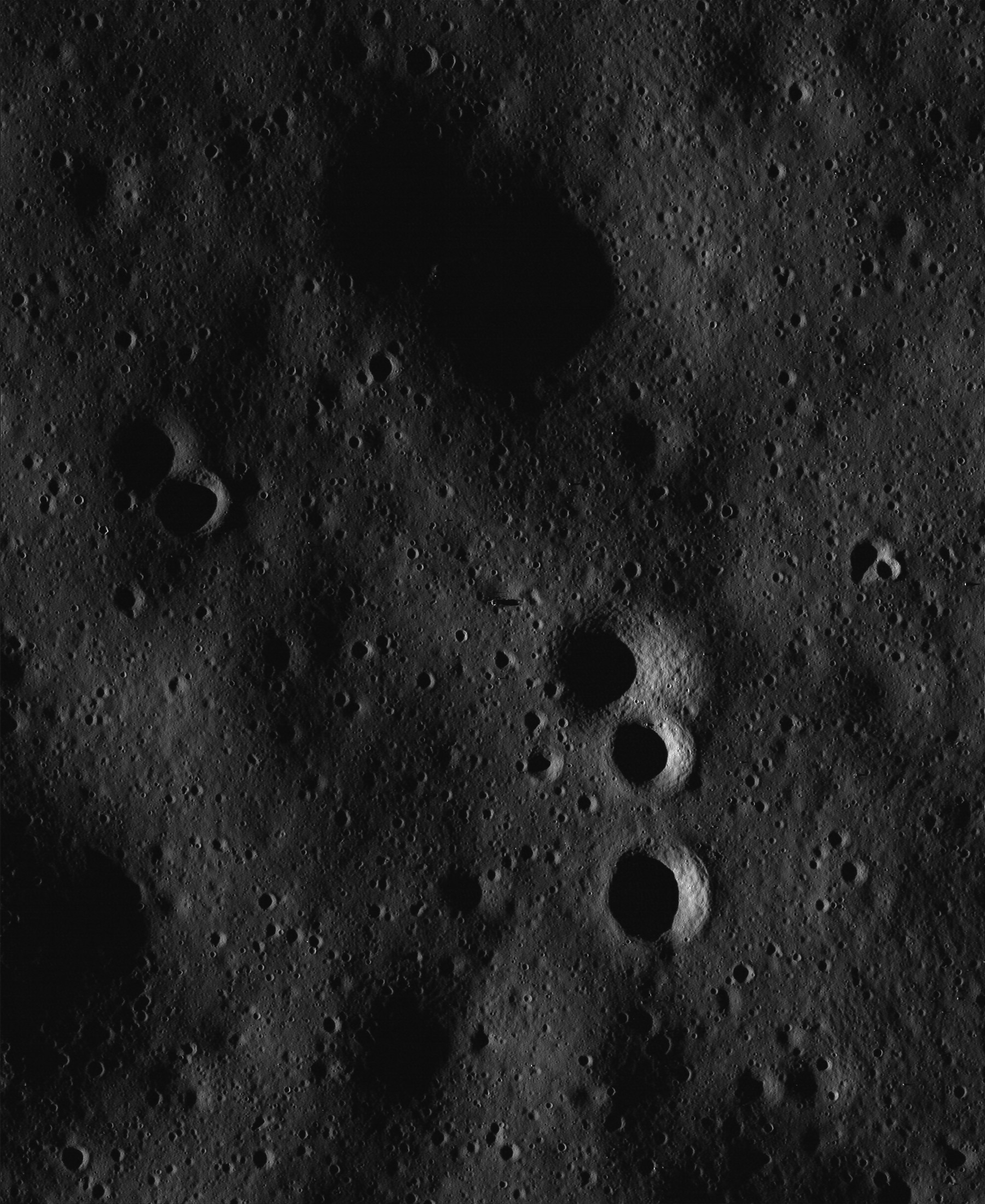
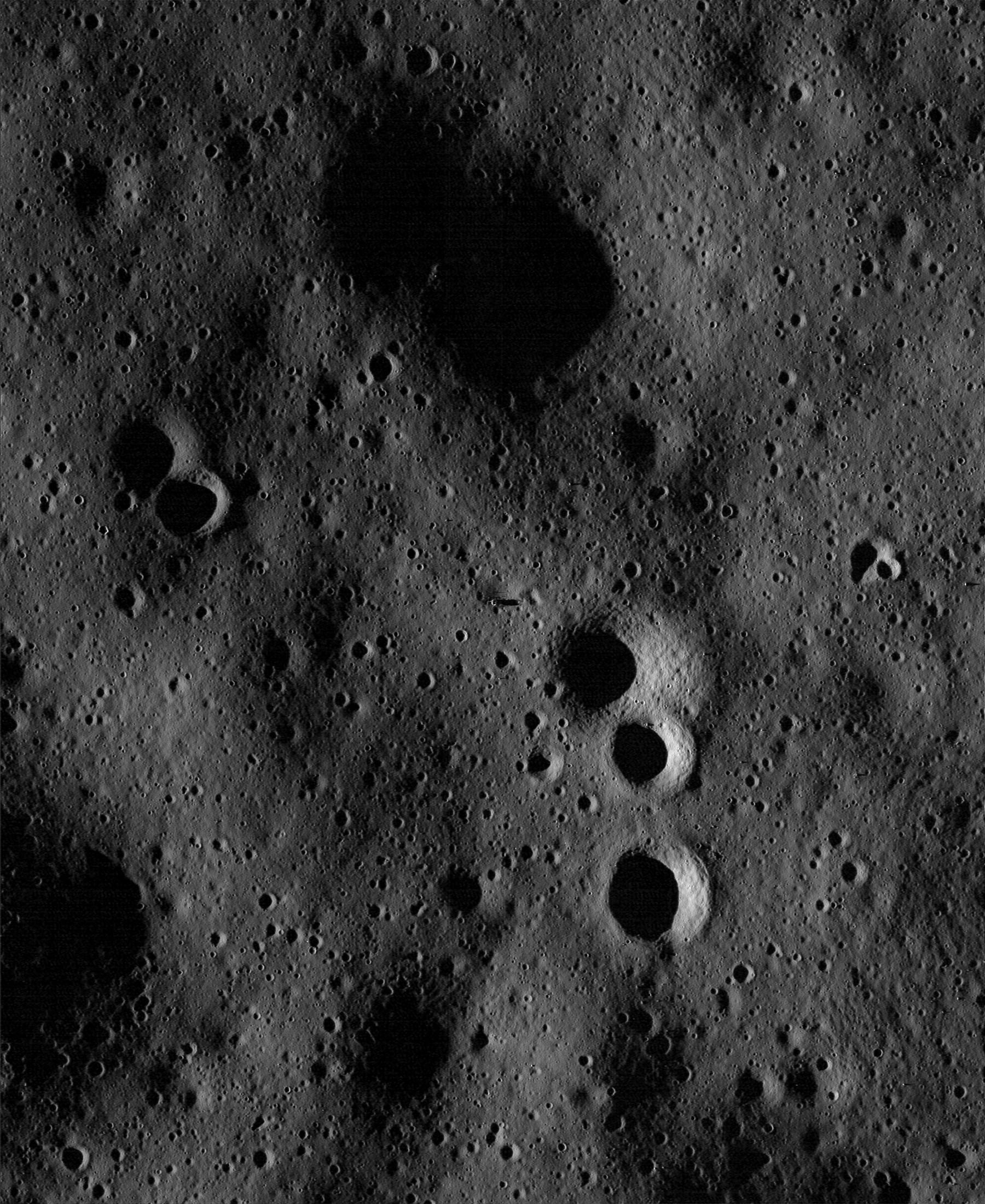
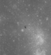
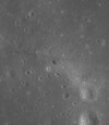
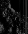
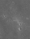
Image M111708164LE
photographed on November 1, 2009 at 09:48:16 UT
Image Data: M111708164LE.txt
You might wish to read ASU's published news article
about this LRO photograph:
Precise
3D Measurements of Objects at Apollo 14 Landing Site from LROC NAC Stereo
Images
 |
The raw LRO
image. |
 |
ASU published photo
demonstrating how the LRO team can create a digital elevation model (DEM) by
using two LRO images (M114064206L and M111708164L) of the same area, but taken
from slightly different vantage points in space as the LRO overflies the area
on the moon's surface. |
 |
ASU published
close-up of the DEM, with computer generated and overlaid heights (exaggerated
by 2X) of the Apollo 14 hardware derived from DEM analysis. Approximate EVA
paths (light blue) also have been overlaid on the DEM generated photo. |
 |
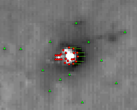
ASU published photo
showing the LM deck data points (red) and reference data points (green) located
on the ground near the LM. Published image is mirrored. The green lines
emanating from the LM deck represent the length of shadows cast by various
points along the edge of the LM deck, providing one means of calculating the LM
deck's height, based on shadow lengths, above the moon's surface since the
sun's elevation for the photo is a known value. |
 |
ASU published photo
showing the data points used for determining the height of the ALSEP. Published
image is mirrored. |
 |
ASU published photo
showing the data points used for determining the height of Turtle Rock.
Published image is mirrored. |
 |
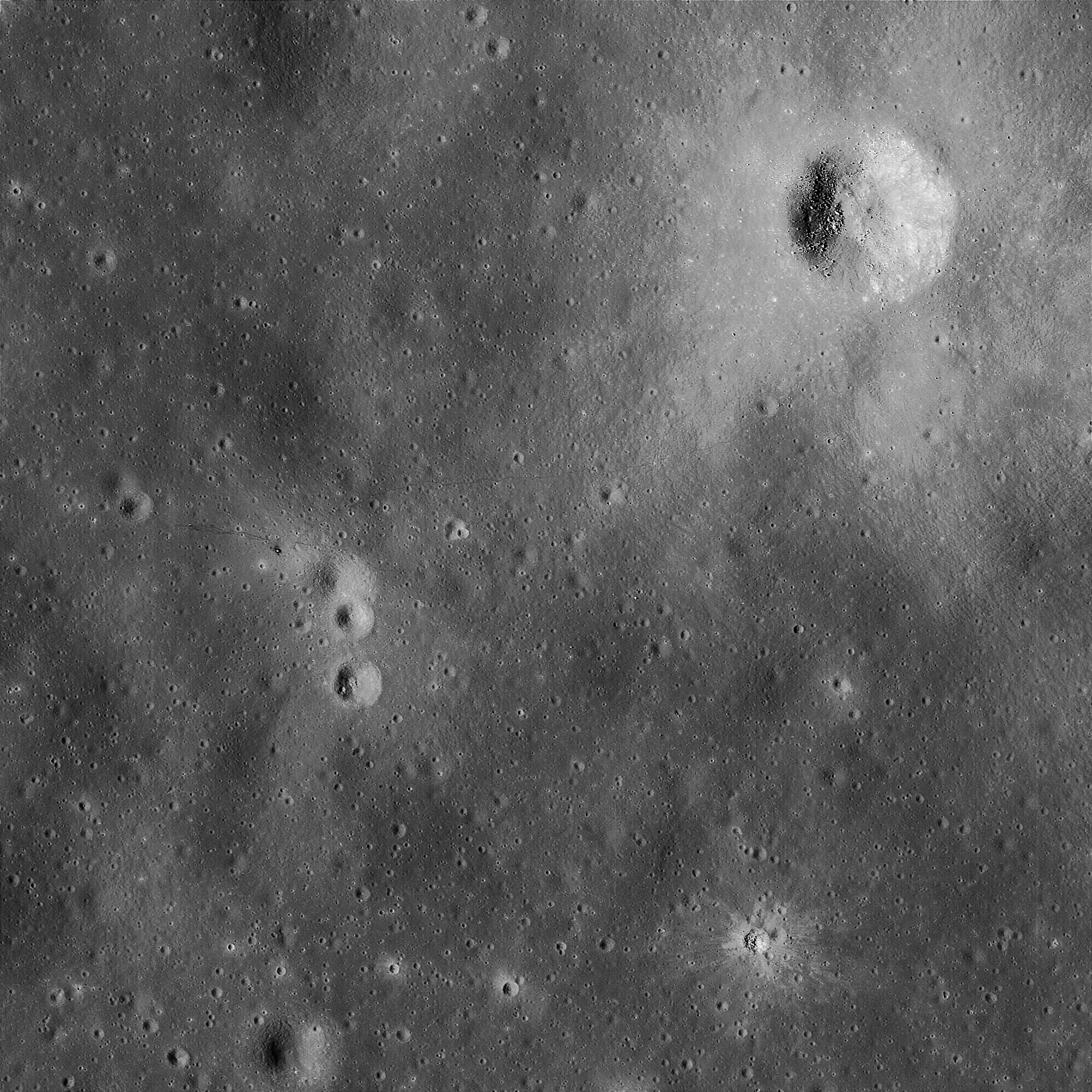
Deconvolved and
enhanced, 0.5 meters/pixel.
TIF
Image |
 |
Deconvolved and
enhanced, gamma curves applied, 0.5 meters/pixel.
TIF
Image |
 |
Deconvolved and
enhanced, 0.25 meters/pixel.
TIF
Image |
 |
Deconvolved and
enhanced, gamma curves applied, 0.25 meters/pixel.
TIF
Image |
|
|
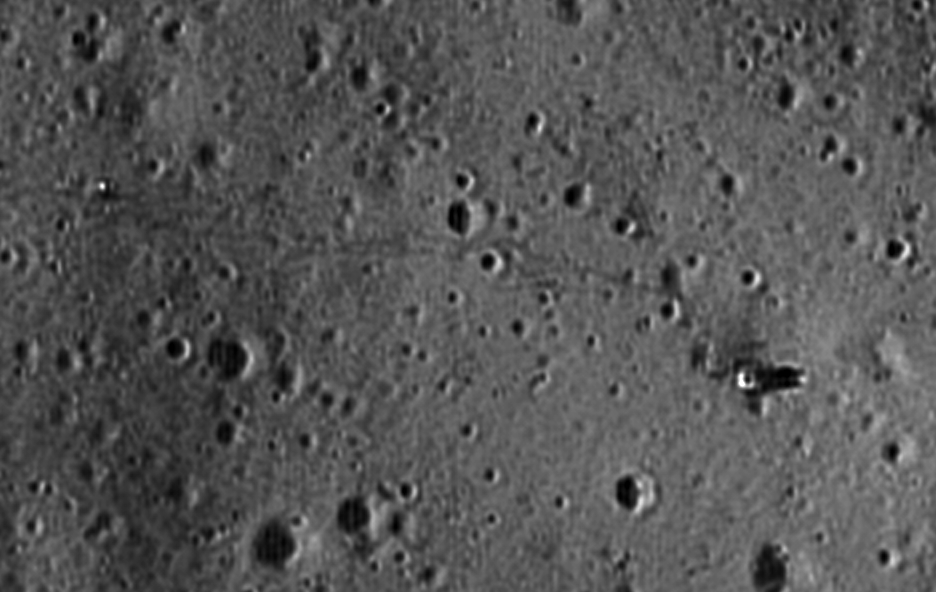
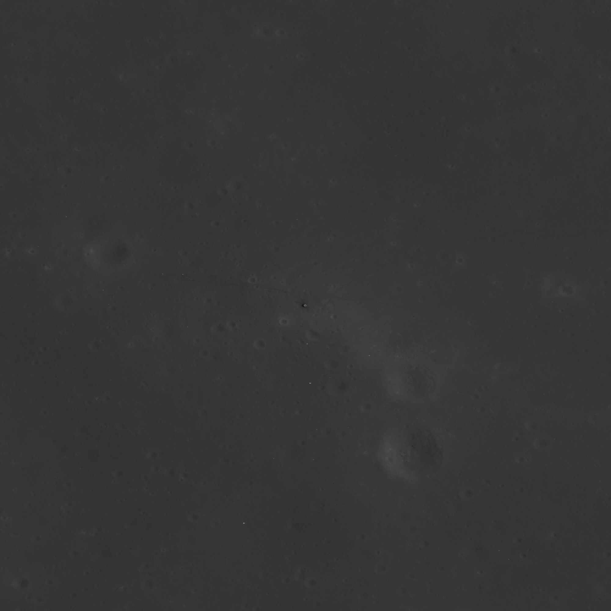
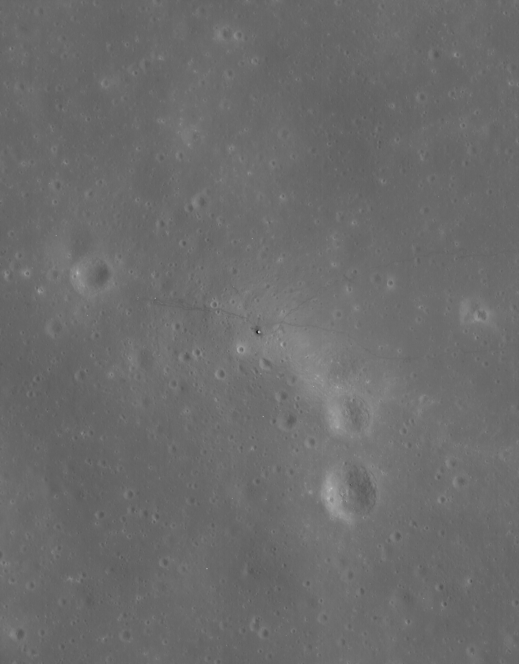
Images M114071006RE
and M114071006LE photographed on November 28, 2009 at 18:08:59 UT
Image Data: M114071006RE.txt and
M114071006LE.txt
 |
The raw right (RE)
LRO image, showing the ALSEP and terrain west of the ALSEP. |
 |
The raw left (LE) LRO
image, showing the landing site and traverses to Cone Crater. |
 |
Deconvolved and
enhanced combination of both images, 0.5 meters/pixel.
TIF
Image |
|
|
|
|
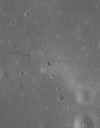
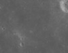
Image M116425798LE
photographed on December 26, 2009 at 00:15:31 UT
Image Data:
M116425798LE___underexposed.txt
 |
The raw LRO
image. |
 |
Deconvolved and
enhanced plus gamma curves applied, 0.5 meters/pixel.
TIF
Image |
|
|
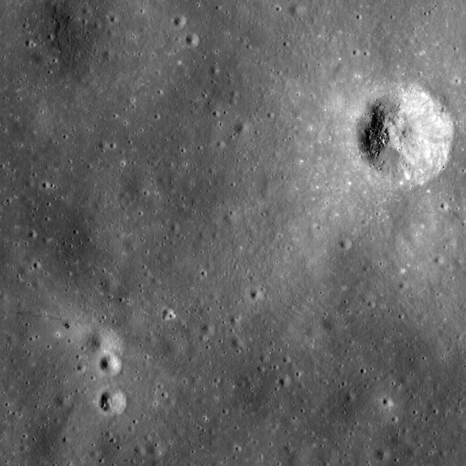
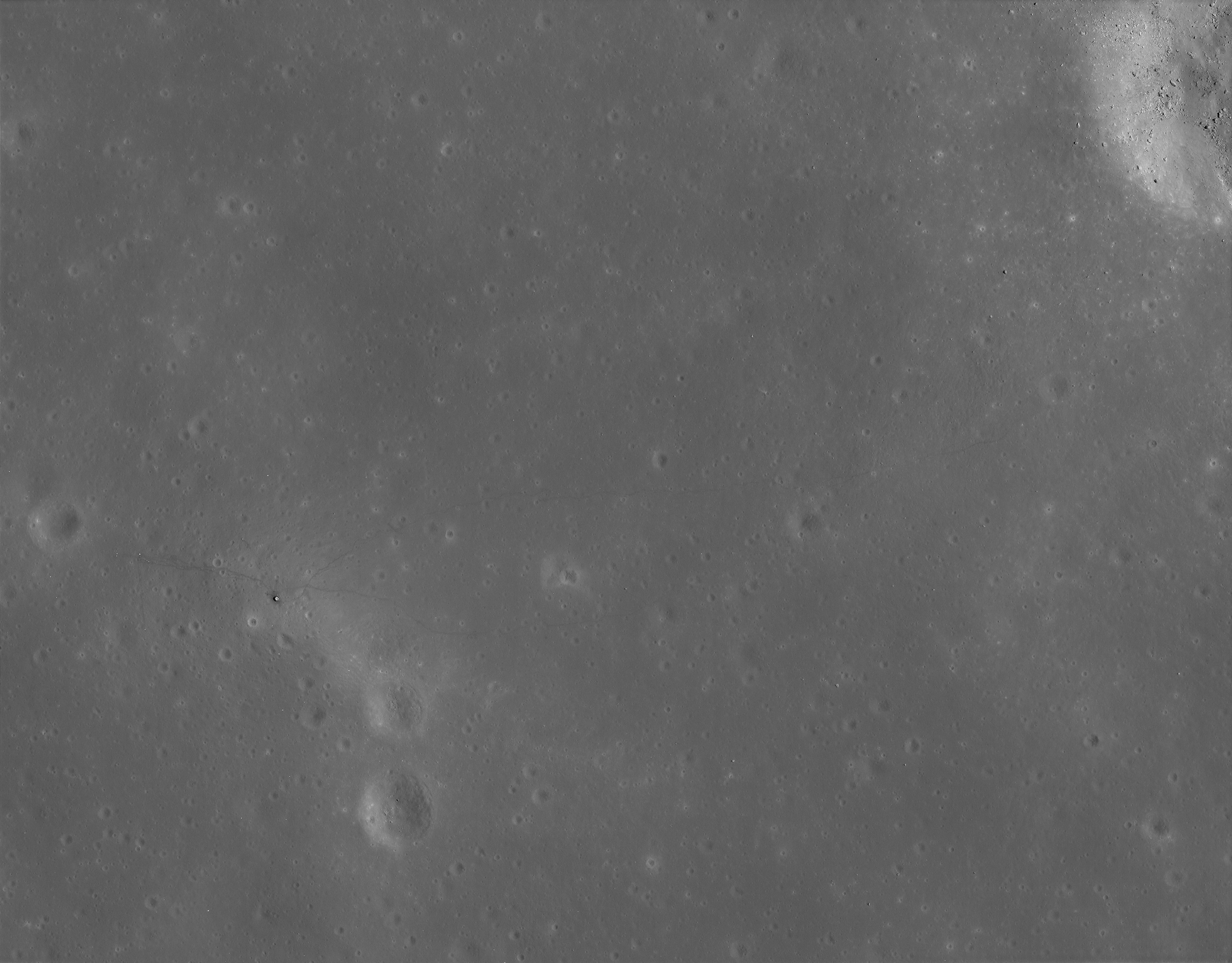
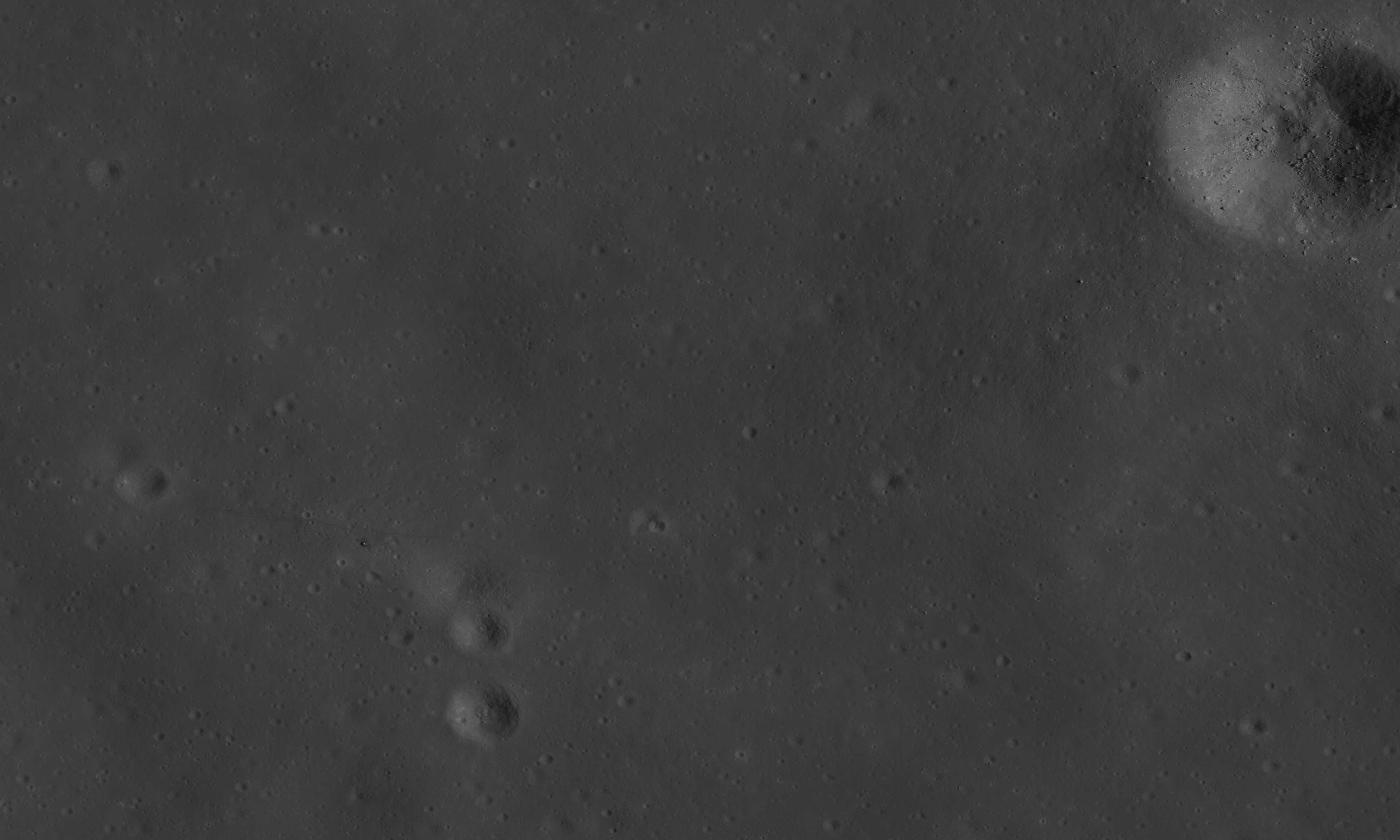
Image M124687860RE
photographed on March 31, 2010 at 15:16:34 UT
Image Data: M124687860RE.txt
This LRO image was taken when it was high noon at
the landing site. Reflections off of the ALSEP are so bright that the NAC's CCD
chip bloomed due to oversaturation of the pixel wells where the ALSEP is
located. The excess electrons in those saturated pixel wells spilled over
mostly into adjacent pixel wells to the right of the ALSEP, but also spilled
over a bit into adjacent pixel wells to the left. Image deconvolution of
extremely bright or oversaturated pixels creates a surrounding dark gap plus a
bright ring around these overly bright pixels, similar to the diffraction rings
seen around bright stars viewed through a telescope with the naked eye.
Why does image deconvolution of overly bright pixels
create a dark gap and bright ring? Because image deconvolution algorithms are
based on the wave nature of light, and in turn the wave nature of light
produces diffraction rings when light passes through the aperture of any
optical system. The human eye also is an optical system. If human visual acuity
were vasty superior then all of us would see the diffraction rings created by
the eye's pupil since the pupil defines the aperture of the eye's optical
system. A planet's surface, whether photographed or viewed with the naked eye
through a telescope, actually is a near infinite combination of Airy disks and
each Airy disk's associated diffraction rings. The wave nature of light creates
these Airy disks. And it is the information contained in the near infinite
number of overlapping yet indistinguishable Airy disk and radial diffraction
ring patterns within the image which allows image deconvolution to be possible
in the first place.
 |
The raw LRO
image. |
|
|
 |
Deconvolved and
enhanced, 0.5 meters/pixel.
TIF
Image |
 |
Deconvolved and
enhanced, 0.25 meters/pixel.
TIF
Image |
|
|
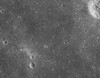
Image M127049821RE
photographed on April 27, 2010 at 23:22:36 UT
Image Data: M127049821RE.txt
 |
The raw LRO image,
centered on the landing site. |
|
|
 |
Deconvolved and
enhanced, 0.5 meters/pixel.
TIF
Image |
 |
Deconvolved and
enhanced, highpass filter applied, 0.5 meters/pixel.
TIF
Image |
 |
Deconvolved and
enhanced, 0.25 meters/pixel.
TIF
Image |
 |
Deconvolved and
enhanced, highpass filter applied, 0.25 meters/pixel.
TIF
Image |
 |
Deconvolved and
enhanced, 0.5 meters/pixel.
TIF
Image |
 |
Deconvolved and
enhanced, highpass filter applied, 0.5 meters/pixel.
TIF
Image |
|
|
| Copyright ©2005-MEM-TEK. All rights reserved. Site contents, services and terms of use
are subject to change without notice. |
|
|